What is recorded here
Bawn in Courtstown is a roughly square earthwork on a wet SSE-facing slope in County Kilkenny, possibly the remains of Courtstown castle. Its north and east banks still rise beside a waterlogged fosse, while beech, hawthorn, holly and ivy strangle the marshy interior. A narrow causeway marks the northern entrance, and cattle have broken an opening near the northwest angle. The place feels less like a ruined fortress than like a drowned room, half forgotten under roots and rain.
On a SSE-facing slope in an area of wet marshy ground. There is a good view to the NW-N-NE, otherwise poor. It is possible that Courtstown castle (KK018-028001-) was located within the interior of this roughly square enclosure, possibly a much denuded bawn (int. dims. c. 65m N-S; c. 60m E-W). A castle with square bawn is indicated on the Down Survey (1655-6) barony map of Cranagh and on the Down Survey parish map of Tullohan (Hibernia Regnum, courtesy of Trinity College Dublin).
The roughly square enclosure is define on the N and E side by a substantial external earth and stone bank (int. H 2.1m; ext. H 1.7m, Wth 7.6m) and waterlogged fosse (Wth 2.5m) and on the W side there is a short length of internal bank (int. H 0.7m; ext. H 1m; Wth 3.8m). There is a causewayed entrance (Wth 2m) on the N side. Near the NW angle there is a opening broken through by cattle. The interior is very wet and marshy and the bank is heavily overgrown with beech, hawthorns, holly and ivy.
See attached images:
KK018-028002-_02 extract from Down Survey (1655-6) barony map of Cranagh (Hib. Reg., courtesy of Trinity College Dublin)
KK018-028002-_03 extract from Down Survey (1655-6) parish map of Tullohan (Hib. Reg., courtesy of Trinity College Dublin)
Compiled by: Jean Farrelly
Date of upload: 16 December 2020
The monument record does not grant public access. Check the route and ask the landowner before entering private land.
- What survives
- Recorded monument
Places near here
 CastleCastle, unclassified · 1 yd
 IndicatedEnclosure · 830 yd
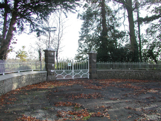 Curragh Housegates/railings/walls · 934 yd
 Enclosure in TrenchardstownEnclosure · 1620 yd
 Tullaroan ChurchChurch · 1.1 mi
 Killeen Fox CovertForest · 1.5 mi
 Site of CastleCastle, unclassified · 1.7 mi
 Kildrinagh WoodForest · 3.1 mi
 Warhouse HillMountain / peak · 3.5 mi
 Ballykeeffe Mass RockNamed rock · 3.8 mi
 Ballykeefe AmphitheatreHeritage attraction · 3.9 mi
 Ballykeefe QuarryCliff · 3.9 mi