
What is recorded here
Depicted as a irregular enclosure (dims. c. 33m N-S; c. 43m E-W) on the 1st (1839) ed. OS 6-inch map with a limekiln in the S edge. The 1900 revision OS 6-inch map indicates some quarrying in the S-SW sector. Describing the antiquities of Trenchardstown, this may be the monument referred to by O'Kelly (1969, 31) as, 'a small rath in a field called Ráithín a crooka'.
Compiled by: Jean Farrelly
Date of upload: 23 June 2020
The monument record does not grant public access. Check the route and ask the landowner before entering private land.
- What survives
- Recorded monument
Places near here
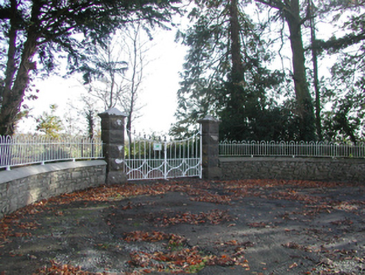 Curragh Housegates/railings/walls · 687 yd
 CrossCross, Wayside cross · 1064 yd
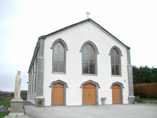 Catholic Church of the Assumptionchurch/chapel · 1248 yd
 Tullaroan MotteArchaeological place · 1448 yd
 CastleCastle, unclassified · 1620 yd
 Site of CastleCastle, unclassified · 1.8 mi
 Killeen Fox CovertForest · 2.4 mi
 Kildrinagh WoodForest · 2.5 mi
 Ballykeeffe Mass RockNamed rock · 4.2 mi
 Warhouse HillMountain / peak · 4.4 mi
 Ballykeefe QuarryCliff · 4.4 mi
 Ballykeefe AmphitheatreHeritage attraction · 4.4 mi
Other information
Photo: Credit not shown in the picture search · Rights wording not checked; contact us if this picture should be removed