
What is recorded here
Located on top of high ground in upland area. Only a fragment of a circular tower possibly a corner tower of the bawn survives. No other features visible. Marked on Down survey 1654 as the 'stumpe of a castle'.
The above description is derived from the published 'Archaeological Inventory of County Offaly' (Dublin: Stationery Office, 1997). In certain instances the entries have been revised and updated in the light of recent research.
Date of upload: 23 May 2011
A local castle; wider significance not recorded.
The monument record does not grant public access. Check the route and ask the landowner before entering private land.
- What survives
- Recorded monument
Places near here
 IndicatedEcclesiastical enclosure · 908 yd
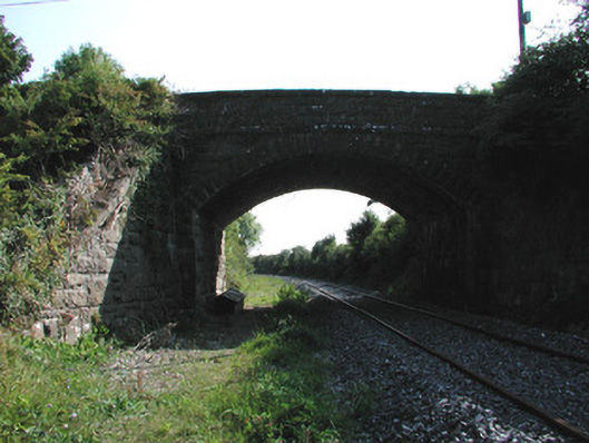 bridgebridge · 1754 yd
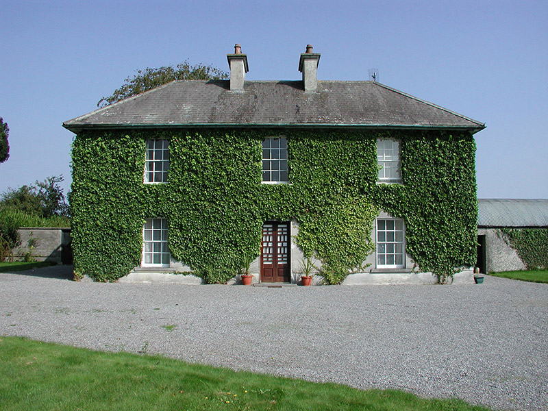 Rockford Housefarm house · 1.1 mi
 Man-made underground passage in CorraclevinMan-made underground passage · 1.4 mi
 CastleCastle, ringwork · 1.7 mi
 Behamore CastleCastle · 2.1 mi
 Thomas MacDonagh Heritage CentreMuseum · 2.3 mi
 MacDonagh HouseMemorial · 2.3 mi
 Knockanacree WoodForest · 2.5 mi
 Cangort WoodWood · 2.9 mi
 James Devaney MemorialMemorial · 7.1 mi
 Interragh HillMountain / peak · 9.2 mi
Other information
Photo: Credit not shown in the picture search · Rights wording not checked; contact us if this picture should be removed