What is recorded here
Muddy feet and iron clashes marked Bishopsland, chambersland, irishtown, marshmeadows, new Ross, pondfields, redhouse, southknock and verosland when opposing forces broke across that land. The names still sound like a heap of places thrown together, yet a battlefield needs no neat border; it only needs the moment when people stopped avoiding each other and began answering violence with violence. Whatever was lost there became soil, memory and warning.
The Archaeological Survey of Ireland (ASI) is in the process of providing information on all monuments on The Historic Environment Viewer (HEV). Currently the information for this record has not been uploaded. To access available information for research purposes please make an appointment in advance with the Archive Unit (open Fridays 10.00 am – 5.00 pm), Department of Housing, Local Government and Heritage, The Custom House, Dublin 1 D01W6XO or email NMarchive@housing.gov.ie.
The monument record does not grant public access. Check the route and ask the landowner before entering private land.
- What survives
- Recorded monument
Places near here
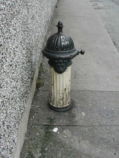 water pumpwater pump · 117 yd
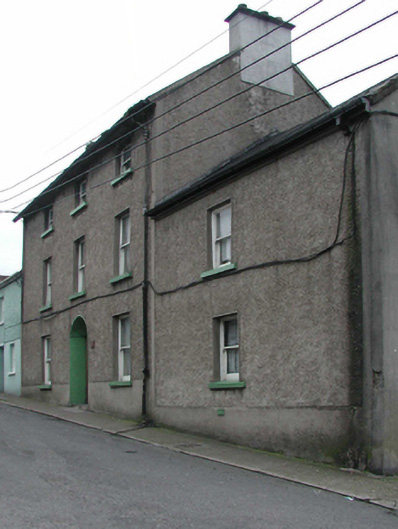 farm housefarm house · 123 yd
 Battle of New Ross (1798)Major battlefield · 468 yd
 O'NeillMemorial · 554 yd
 Crutched FriarsMemorial · 604 yd
 Ros Tapestry ExhibitionGallery · 639 yd
 DunbrodyHeritage attraction · 664 yd
 Site of Dominican AbbeyReligious house, Dominican friars · 826 yd
 Site of St. Stephens ChapelChurch · 955 yd
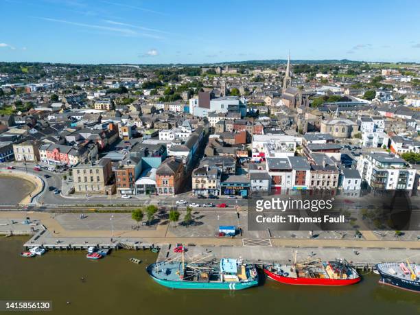 IndicatedBawn · 1.2 mi
 Lacken HillMountain / peak · 2.3 mi
 Forest Of The DunbrodyForest · 2.4 mi