What is recorded here
This record was listed in the RMP (1998) as 'Potential site - cartographic'. The source for this record is Smith's, The ancient and present state of the county of Cork (1892, vol. 1), p. 388, which states that opposite the Castle 'is a field, which they call the Camp-field; from whence, a battery was erected by a party of the parliament forces, anno 1649, against the castle, which was then defended by the lady of lord Roche, for several days, in a gallant manner …' The name 'Camp Field' appears on the 1st ed. of the OS 6-inch map (not in antiquarian font) was repeated on the 1905 ed. As a 'battery' is specifically mentioned by Smith, this record has been reclassified as 'Battery (possible)'.
The above description is derived from the published 'Archaeological Inventory of County Cork. Volume 4: North Cork' (Dublin: Stationery Office, 2000). In certain instances the entries have been revised and updated in the light of recent research.
Date of upload/revision: 14 January 2009
The monument record does not grant public access. Check the route and ask the landowner before entering private land.
- What survives
- Recorded monument
Places near here
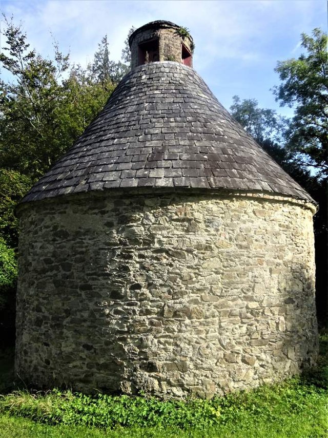 Dovecote in BallyadeenDovecote · 258 yd
 Bridge Millmill (water) · 270 yd
 Glenanorefarmyard complex · 292 yd
 Grave YdGraveyard · 485 yd
 Anne's Grove GardensHeritage attraction · 1.7 mi
 Castle (in Ruins)Castle, unclassified · 2.0 mi
 Blackwater (Avondhu) WayWalking route · 2.5 mi
 Shanballymore Castle (Site of)Castle, unclassified · 3.0 mi
 Priest's WoodForest · 3.1 mi
 Johnson's WoodForest · 3.4 mi
 Knocknaskagh North TopMountain / peak · 3.9 mi
 Graveyard in BoherashGraveyard · 4.4 mi