What is recorded here
The overgrown ruins of a two-storey house, L-shaped in ground plan. The front elevation (SE-facing) is of five bays and has a central doorway with a single blocked sidelight survives to the right. According to Bary (1994, 44-5), the house was built in the mid-18th century and was originally associated with the O' Mahony family. The 1846 OS 6-inch map shows an extensive orchard to the E of the house. (Castleisland District Archaeological Survey)
Compiled by: Elizabeth Byrne, Ursula Egan and Sheila Ronan, Archaeological Survey Unit, University College, Cork.
Date of upload: 31 January 2011
The monument record does not grant public access. Check the route and ask the landowner before entering private land.
- What survives
- Recorded monument
Places near here
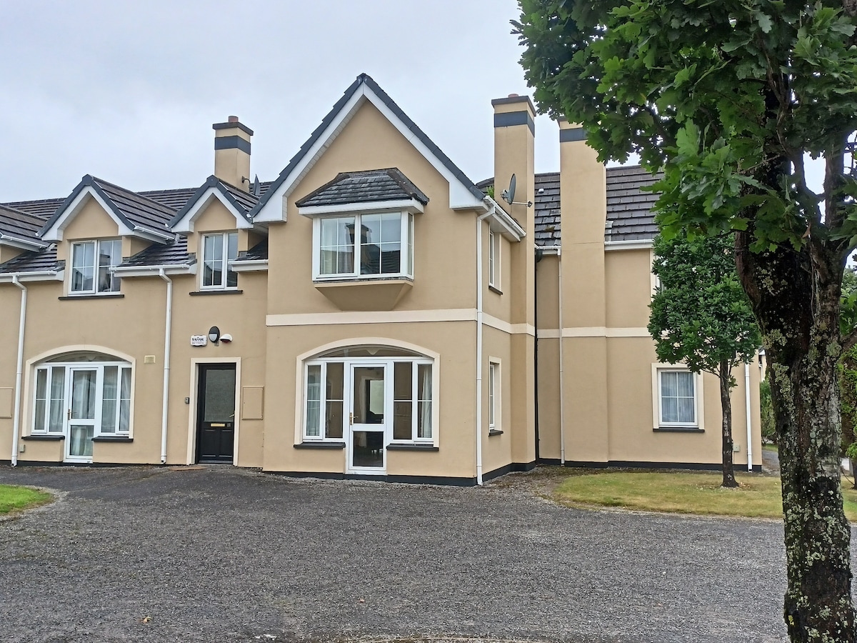 Batterfield HouseRuins · 6 yd
 IndicatedFairy fort / earthen ringfort · 592 yd
 Fieries CastleCastle · 859 yd
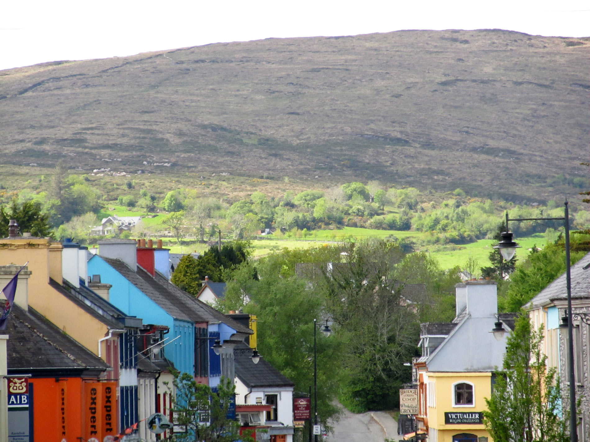 ToberreendoneyHoly well · 866 yd
 Corbally Ho.Country house · 1458 yd
 CastleCastle, ringwork · 1.9 mi
 The Kerry Creamery ExperienceHeritage attraction · 4.1 mi
 Ballygamboon Forest Recreation AreaWood · 4.8 mi
 Aghadoe Early Medieval Ecclesiastical SiteHeritage attraction · 5.8 mi
 Scotia's GraveArchaeological place · 6.7 mi
 Famine MemorialMemorial · 7.1 mi
 Circular WalkWalking route · 7.2 mi