What is recorded here
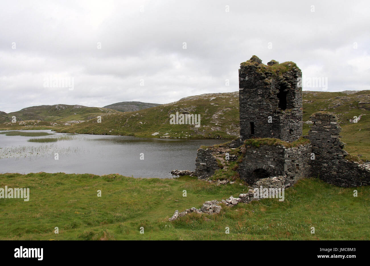
Mud and stone in West Cork, an irregular six-pointed star built around the ruined tower of Dunboy Castle about 1650-56. The old walls were cut to ten or eleven feet, roofed again, and joined to a new annex, turning a broken castle into a weaponised house. Its eastern entrance is gone now, but the thick bank still stands where Fahy’s excavation revealed it, keeping the shape of a place that refused to stop being useful.
Built on ruins of Dunboy Castle (CO128-001002-) about 1650-56 (Gowen 1978, 1-49). Irregular star in plan, covering an area 32m x 35m. Six salient angles; entrance to E completely destroyed; bank roughly 5m thick. Walls of earlier tower trimmed to height 10-11 feet, re-roofed and internal partition wall built; annex built abutting W wall of tower. Site now as revealed by Fahy's excavation.
The above description is derived from the published 'Archaeological Inventory of County Cork. Volume 1: West Cork' (Dublin: Stationery Office, 1992). In certain instances the entries have been revised and updated in the light of recent research.
Date of upload/revision: 14 January 2009
A bastioned fort in Dunboy, likely early-medieval in origin, was later modified in the mid-17th century. It is associated with local folklore surrounding the nearby ruins of Dunboy Castle, traditionally linked to the Desmond Rebellions and Irish resistance against English rule.
The monument record does not grant public access. Check the route and ask the landowner before entering private land.
- What survives
- Recorded monument
Places near here
 Dunboy CastleRuins · 6 yd
 Castle (in Ruins)Castle, tower house · 8 yd
 Siege of Dunboysiege · 61 yd
 Hut site in DunboyHut site · 85 yd
 TraneenBeach / strand · 700 yd
 Dunboy WoodForest · 782 yd
 Enclosure in DisertEnclosure · 924 yd
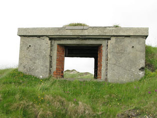 pill boxpill box · 1120 yd
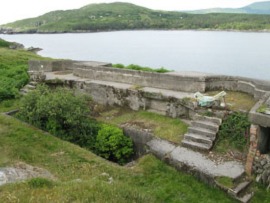 batterybattery · 1179 yd
 Ardnakinna West Island LoopWalking route · 1.0 mi
 Burial ground in DerrycreeveenBurial ground · 1.1 mi
 Sheep IslandsIslet · 1.1 mi