
What is recorded here
From OpenStreetMap (© OpenStreetMap contributors) n8778716230
Places near here
Photo credits
- Colin Park, Wikimedia Commons · CC BY-SA 2.0
- Colin Park, Geograph · CC BY-SA 2.0
- Maker not stated on source page, monumentalireland.ie
- Maker not stated on source page, tr.pinterest.com
- National Inventory of Architectural Heritage
- Maker not stated on source page, in.pinterest.com
- Maker not stated on source page, ru.pinterest.com
- DavidBosonnet, Wikimedia Commons · CC BY-SA 4.0
- Rossographer, Geograph · CC BY-SA 2.0
- This Photo was taken by Timothy A. Gonsalves . Feel free to use my photos, but please mention me as the author. I would much appreciate if you send me an email tagooty@yahoo.com or write on my talk page , for my information. Please contact me before commercial use. Please do not upload an edited image here without consulting me. I would like to make corrections only at my own source to ensure that the changes improve the image and are preserved. Otherwise you may upload an edited image with a new name. Please use one of the templates derivative or extract ., Wikimedia Commons · CC BY-SA 4.0
 BascadhMountain / peak · 1117 yd
Explorer Tom Bascadh in County Kerry had a bit of a moment when a fox took charge of the whole summit. The beast paced around like…
 KnocklomenaMountain / peak · 1.0 mi
Explorer Tom Knocklomena is famous for having no paths, which means it’s basically a giant tussocky obstacle course for your ankles.…
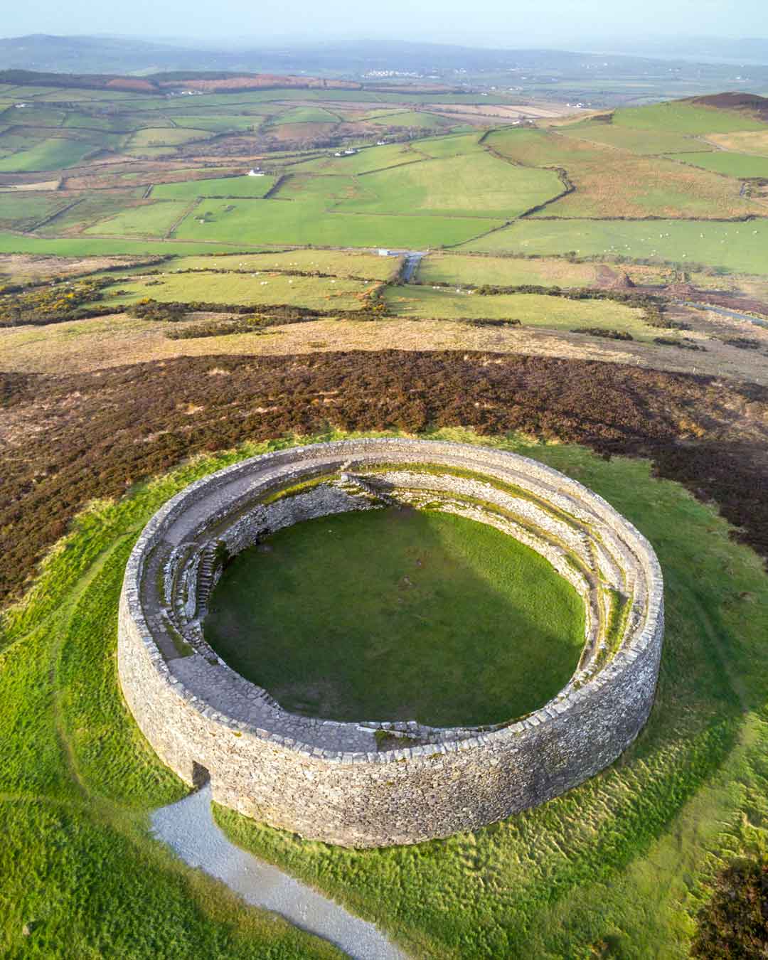 Fairy fort / earthen ringfort in Scarteen (dunkerron South By.)Fairy fort / earthen ringfort · 1.1 mi
Explorer Tom Scarteen Fairy Fort is playing dead on that muddy patch. It gave up its stone crown for Lent and now just sits there…
 Enclosure in Derrygarrane SouthEnclosure · 1.5 mi
Explorer Tom Enclosure in Derrygarrane South keeps secrets for after a few pints. It’s built right into the rock outcrop of…
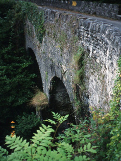 Blackwater BridgeBridge · 4.9 mi
Explorer Tom Blackwater Bridge would explain the 1800s to a teenager as just a really long queue for tea. The pedestrian refuge is…
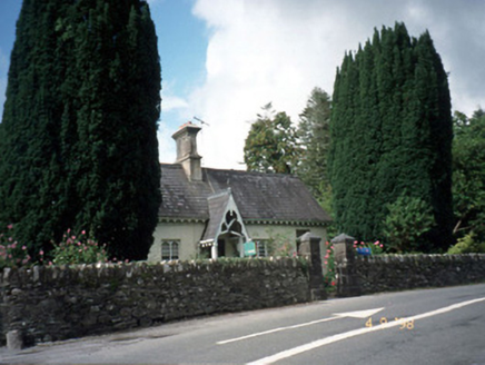 Blackwater CottageHouse · 4.9 mi
Explorer Tom Blackwater Cottage hosted the most dramatic event in history when a cat knocked over a vase. The decorative fascia and…
 Ballycarnahan Castle (in Ruins)Castle, tower house · 20 mi
Explorer Tom Ballycarnahan Castle is perched on a rocky knoll, and I bet Saint Patrick would have looked at its modest size and…
 IllaunnaweelaunIslet · 20 mi
Explorer Tom There’s a hidden message in Illaunnaweelaun’s stones that only the gulls can read, and they’re not telling anyone else.…
 Derrynane House / Teach Dhoire FhionáinHeritage attraction · 21 mi
Explorer Tom Derrynane House has a superstition that locals swear by: if you touch the wall three times, your luck improves slightly…
 Derrynane Beach / Trá Doire FhíonáinBeach / strand · 21 mi
Explorer Tom Derrynane Beach in County Kerry would say 'I have excellent teamwork skills' in a job interview. It basically holds up…
 Oileán na RónIsland · 21 mi
Explorer Tom Oileán na Rón has a family tree that is mostly made up by grandmothers who insisted their great-grandfather was a seal.…
 Allihies Copper Mine MuseumMuseum · 24 mi
Explorer Tom Allihies Copper Mine Museum sits at the far end of the Beara Peninsula, where the Atlantic looks ready to swallow the…
More mountains and hills in County Kerry · All of County Kerry

What do you know about this place?Tap to add a comment or ask a question