
What is recorded here
At road junction on S side of Castlelyons village, c. 300m SE of Castlelyons Castle (CO045-004---). Site now occupied by farmyard (38m N-S; 20m E-W), enclosed by high stone wall to W, N and E and by diagonal concrete wall and derelict 19th century house to S. Lower courses of stone wall are noticeably thicker and present wall appears to be rebuilding on earlier foundations. Otherwise no features in yard appear to predate late 18th century. Though later editions of OS 6-inch map show 'Barrymore Barn' to E of enclosure, on site now occupied by late 19th century Parochial House, 1842 OS 6-inch map shows it much closer to 'Stables' and both buildings may have been adjacent. These buildings were presumably associated with nearby castle, former seat of Earls of Barrymore (CO045-004---).
The above description is derived from the published 'Archaeological Inventory of County Cork. Volume 2: East and South Cork' (Dublin: Stationery Office, 1994). In certain instances the entries have been revised and updated in the light of recent research.
Date of upload/revision: 14 January 2009
The monument record does not grant public access. Check the route and ask the landowner before entering private land.
- What survives
- Recorded monument
Places near here
 Aghnagearagh BrBridge · 246 yd
 Barrymore Castle or Castle LyonsHouse, fortified house · 370 yd
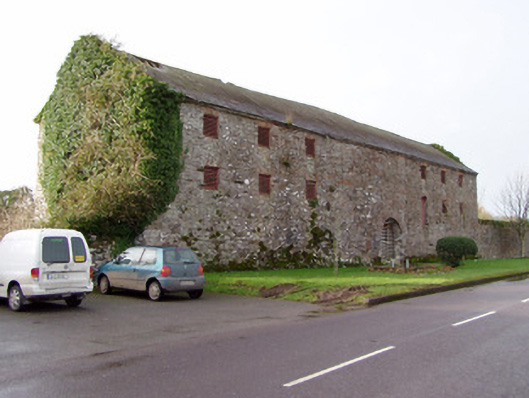 Barrymore Barnstore/warehouse · 420 yd
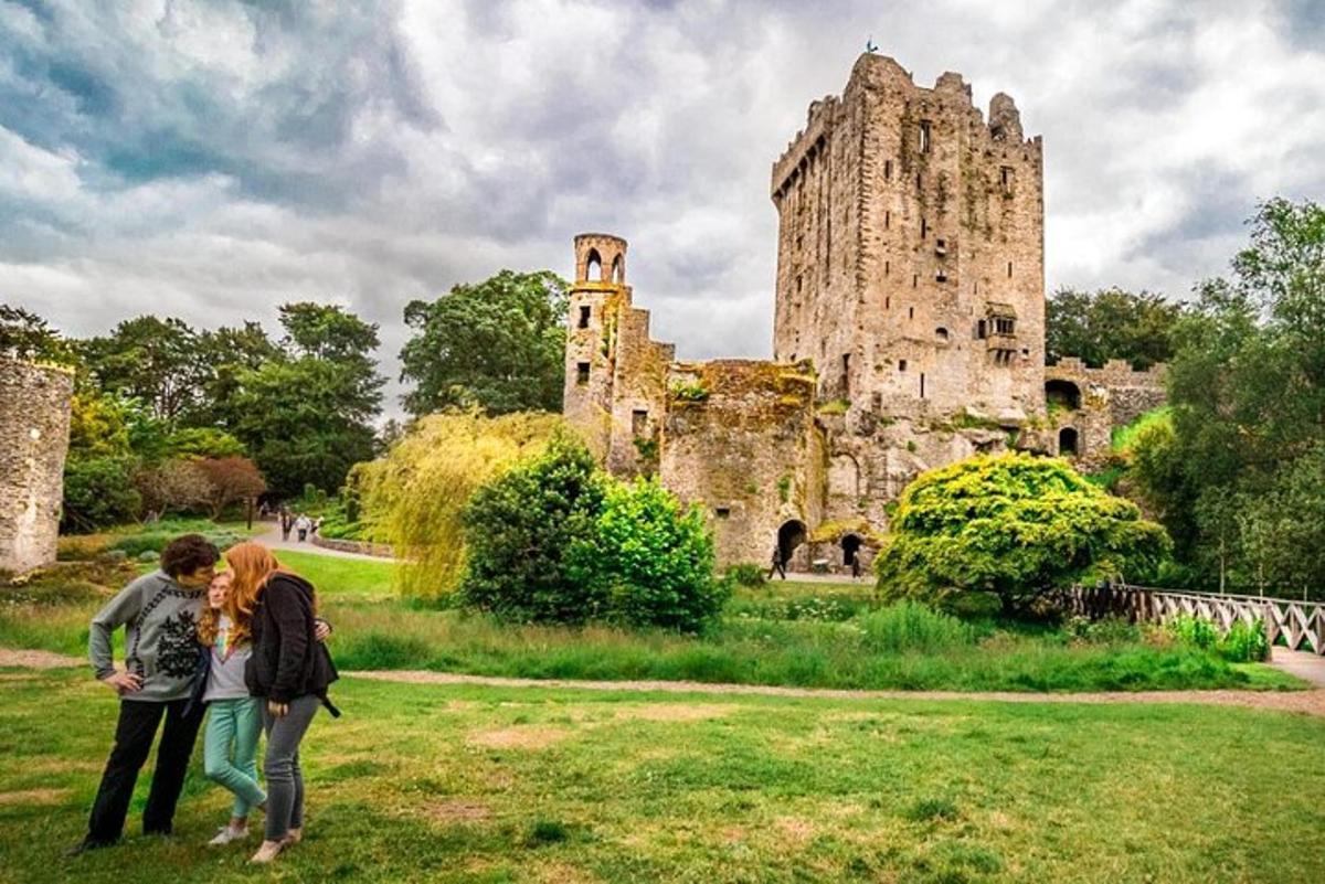 Killawillin Church (Site of)Church · 1248 yd
 Fulacht fia in Deerpark (barrymore By.)Fulacht fia · 1533 yd
 Pope's WellSpring · 1.6 mi
 Castle (Site of)Castle, unclassified · 1.6 mi
 Coole WellVisitor information · 2.1 mi
 Strawhall WoodForest · 2.9 mi
 Ballybrack WoodForest · 3.2 mi
 Kent BridgeMemorial · 4.3 mi
 Graveyard in FermoyGraveyard · 4.3 mi
Other information
Photo: Credit not shown in the picture search · Rights wording not checked; contact us if this picture should be removed