What is recorded here
Barrow is an unclassified oval mound, sixteen metres long, hidden in low pasture near the River Deel and Shannon Estuary. Celie O’Rahilly found it in 1999 while walking a proposed power-line route, not on old maps or official drawings. It may be a burial place, a boundary mark, or a forgotten field shape, but its stones still hold the shape of human hands.
In low-lying, gently undulating pasture, overlooking the River Deel c. 0.9km to E and the Shannon Estuary to N. A second similar feature (LI010-124----) lies approx. 90m to N. Not depicted on OS historic mapping. Identified as Site 1 in 1999 as a possible enclosure by Celie O’Rahilly when walking the route of a proposed ESB power line. Described as an oval-shaped mound (L 16m E-W) defined by a low bank from NW-N-E-S-SW. This incorporates some rock outcrop and stones, some of which may be attributed to field clearance. A field boundary is close to S and a gallops track lies c. 10m to E. The description of a mound enclosed by a bank could suggest a possible barrow or a possible burial mound/cairn. Monument is visible as an irregular oval-shaped stony area on Digital Globe orthophotos taken 2011-13 and on Google Earth orthoimages taken 08/04/2015.
See attached Google Earth orthoimage and field map by O'Rahilly
Compiled by: Alison McQueen and Vera Rahilly
Date of upload: 6 July 2020
The monument record does not grant public access. Check the route and ask the landowner before entering private land.
- What survives
- Recorded monument
Places near here
 CairnCairn, burial cairn · 119 yd
 Megalithic structure in Tomdeely NorthMegalithic structure · 334 yd
 Tomdeely CastleCastle · 385 yd
 Holly IslandIslet · 1035 yd
 Ballynash CastleCastle, unclassified · 1747 yd
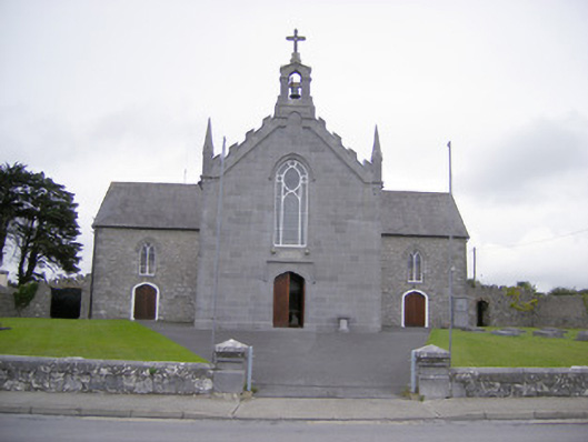 Saint Mary's Catholic Churchchurch/chapel · 1.0 mi
 Abbey (in ruinsReligious house, Franciscan friars · 1.1 mi
 Askeaton CastleHeritage attraction · 1.3 mi
 Greenish IslandIslet · 1.4 mi
 Courtbrown PointHeadland · 1.8 mi
 Herring RockNamed rock · 2.5 mi
 Foynes Flying Boat & Maritime MuseumMuseum · 4.8 mi