What is recorded here
The following description is derived from the published 'Archaeological Inventory of County Meath' (Dublin: Stationery Office, 1987). In certain instances the entries have been revised and updated in the light of recent research.
Date of upload/revision: 10 July 2007
Sunken circular area (slightly domed) defined by shallow fosse (diam. 7m). Partly excavated in 1954 by E. Hickey, when a cremation was found.
The monument record does not grant public access. Check the route and ask the landowner before entering private land.
- What survives
- Recorded monument
Places near here
 Enclosure in SkreenEnclosure · 228 yd
 Font in Collierstown (skreen By.)Font · 377 yd
 CastleCastle, motte · 530 yd
 Skreen CastleCastle, tower house · 628 yd
 ChapelChurch · 787 yd
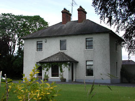 presbytery/parochial/curate's housepresbytery/parochial/curate's house · 914 yd
 Candle HillMountain / peak · 1661 yd
 Clusker Wood NorthWood · 1.7 mi
 The Pond WoodWood · 1.7 mi
 Tara Open StudioGallery · 2.0 mi
 Hill of TaraVisitor information · 2.0 mi
 Saint Patrick'sMemorial · 2.1 mi