What is recorded here
Barrow stands on the summit of a prominent drumlin hill in County Cavan, Ireland. Its raised circular area measures 8.2 metres across and remains enclosed by an external bank, two scarps and outer berms. A shallow depression outside the bank may represent a fosse, while the original entrance has vanished beneath time and former trees. The structure still marks the hilltop, waiting for someone to remember what it guarded or held.
Sited on the summit of a prominent drumlin hill. Raised circular area (int. diam. 8.2m) enclosed by an external bank and two scarps with outer berms. Outside of the outer bank is a shallow depression which may represent a fosse. Both outer fosse and bank are incorporated into the field boundary. Original entrance not recognisable. The site was formerly planted with trees.
The above description is derived from the published 'Archaeological Inventory of County Cavan' (Dublin: Stationery Office, 1995). In certain instances the entries have been revised and updated in the light of recent research.
Date of upload/revision: 22 December 2008
A Neolithic barrow; its location on a prominent drumlin suggests it may have had ceremonial or territorial significance in the prehistoric landscape.
The monument record does not grant public access. Check the route and ask the landowner before entering private land.
- What survives
- Recorded monument
Places near here
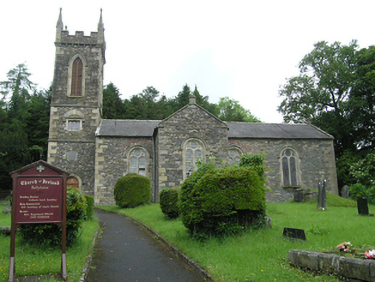 Ballyhaise Church of Ireland Churchchurch/chapel · 334 yd
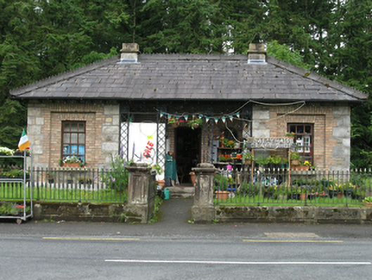 Ballyhaise Craft Shopgate lodge · 441 yd
 Garden IsleIslet · 455 yd
 Ballyhaise Ho.Castle, unclassified · 607 yd
 Agroforestry plotForest · 807 yd
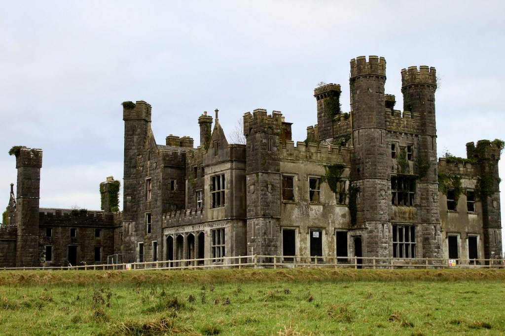 CastleCastle, unclassified · 1186 yd
 CorgarveMountain / peak · 1517 yd
 Enclosure in OuleyEnclosure · 1526 yd
 Annaghduff Wet WoodlandForest · 1720 yd
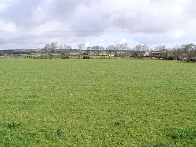 Enclosure in CarrickmoreEnclosure · 1733 yd
 ArdamaghMountain / peak · 1.4 mi
 Giants GraveArchaeological place · 3.0 mi