What is recorded here
Cropmark of circular-shaped area (approx. diam. 8m) in centre of a larger enclosure (approx. diam. 20m) visible on Google earth aerial imagery.
See attached image taken from Google Earth aerial photographs taken 25/06/2018
Compiled by: Caimin O'Brien based on details provided by Jean-Charles Caillère
Date of upload: 10 September 2019
A Bronze Age barrow, likely a bell barrow or bowl barrow, within a larger ritual or territorial enclosure; its significance lies in its potential to inform on burial practices and landscape use in the Bronze Age.
The monument record does not grant public access. Check the route and ask the landowner before entering private land.
- What survives
- Recorded monument
Places near here
 Enclosure in Prumpelstown UpperEnclosure · 535 yd
 Gorteen MoundCastle, unclassified · 845 yd
 Church (in Ruins)Church · 1011 yd
 Enclosure in BallaghmoonEnclosure · 1086 yd
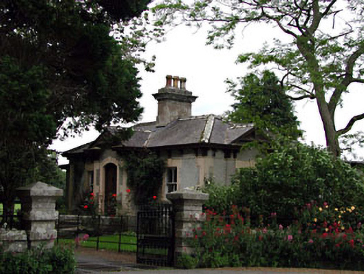 Prumplestown Housegate lodge · 1159 yd
 Oak Park Forest ParkWood · 1.6 mi
 ProclamationMemorial · 2.3 mi
 European YewEuropean Yew · 2.3 mi
 Franciscan FriaryHeritage attraction · 2.4 mi
 CastleCastle, tower house · 2.5 mi
 Castledermot Round TowerHeritage attraction · 2.6 mi
 Lorcán Ó TuathailMemorial · 3.4 mi