What is recorded here
Outline of small circular enclosure (approx. diam. 9m) visible on Digital Globe aerial photographs, not depicted on any ed. OS 6-inch map. Possible barrow.
Compiled by Alison McQueen, Vera Rahilly and Caimin O’Brien.
Date of upload: 04 November 2019
A possible Neolithic or Bronze Age barrow; its significance is not yet established due to lack of physical remains or detailed investigation.
The monument record does not grant public access. Check the route and ask the landowner before entering private land.
- What survives
- Recorded monument
Places near here
 OutlinedFairy fort / earthen ringfort · 64 yd
 Enclosure in Porterstown (napper)Enclosure · 207 yd
 CastleCastle, unclassified · 681 yd
 Footy's Bridgebridge · 814 yd
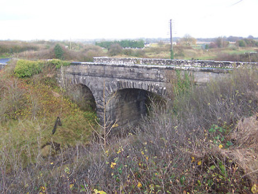 bridgebridge · 846 yd
 Bawn in Kerinstown and Balrowan (rowley)Bawn · 1021 yd
 GinkgoGinkgo · 4.9 mi
 ScregganWood · 6.7 mi
 Croppies' GraveMemorial · 8.5 mi
 25th Locklock · 861 yd
 Partially hachuredFairy fort / earthen ringfort · 971 yd
 RoadRoad, hollow-way · 1029 yd