What is recorded here
In undulating pasture at base of gentle NE-facing slope with good views in all directions. Not depicted on the OS maps. Sub-oval shaped area (11m E-W; 8.6m N-S) defined by a scarp (Wth. 1.9m; H 0.1m), the interior is uneven and slopes from centre to NE and SW. Not visible on Google Earth orthoimage taken 28/06/2018.
Compiled by: Martin Fitzpatrick
Date upload: 7 July 2020
The monument record does not grant public access. Check the route and ask the landowner before entering private land.
- What survives
- Recorded monument
Places near here
 Enclosure in WoodfarmEnclosure · 1058 yd
 Enclosure in Castle-Erkin NorthEnclosure · 1162 yd
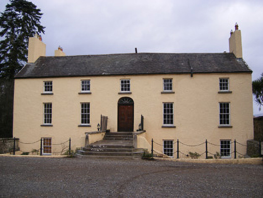 Dromkeen Housecountry house · 1289 yd
 CastleCastle, unclassified · 1331 yd
 Dromkeen Church (in ruins)Church · 1342 yd
 Castle-erkin (Site of) partially hachuredCastle, unclassified · 1549 yd
 KnockseefinMountain / peak · 2.8 mi
 Graveyard in AbingtonGraveyard · 3.1 mi
 ToberagaddySpring · 3.9 mi
 Sliev Felim WayVisitor information · 4.3 mi
 St. Patrick's WellSpring · 4.3 mi
 Kilteely HillMountain / peak · 4.7 mi