What is recorded here
In pasture. Indicated on the 1st (1839) ed. OS 6-inch map and on the 1948 revision as a small circular enclosure (diam. c. 17m), with a stream running N-S along the W side and a field boundary running roughly E-W immediately to the N.
Compiled by: Jean Farrelly
Date of upload: 10 May 2022
The monument record does not grant public access. Check the route and ask the landowner before entering private land.
- What survives
- Recorded monument
Places near here
 Enclosure in Mallardstown GreatEnclosure · 1337 yd
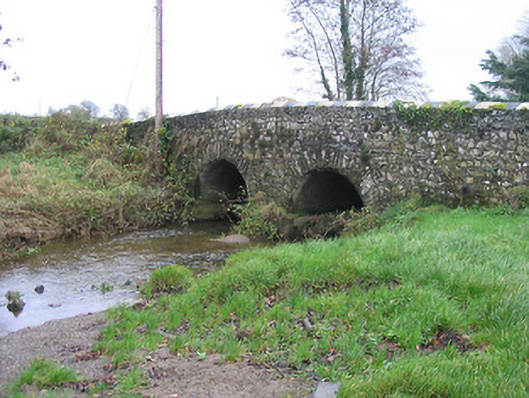 Caherlesk Bridgebridge · 1342 yd
 White ChurchArchaeological place · 1378 yd
 Sally OsiersForest · 1503 yd
 BawnwilliamForest · 1511 yd
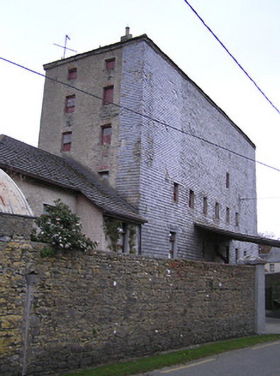 mill (water)mill (water) · 1562 yd
 Mill IslandIslet · 1593 yd
 Wellington Ho.Castle, unclassified · 1.0 mi
 TowerHouse, fortified house · 1.5 mi
 Green StreetVisitor information · 1.9 mi
 Edmund Rice MemorialMemorial · 1.9 mi
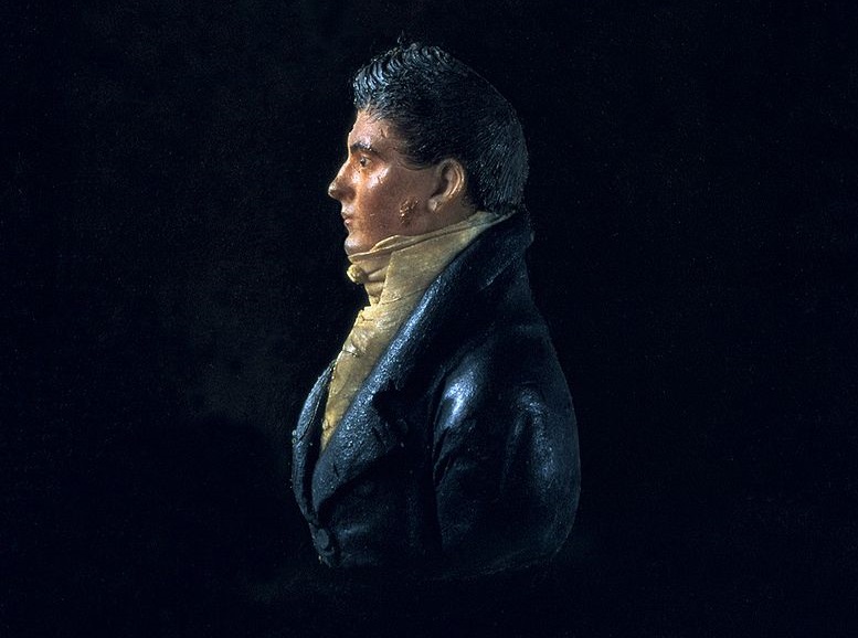 James Hoban MonumentMemorial · 2.0 mi