
What is recorded here
Indicated on the 1st (1839) ed. OS 6-inch map as a polygonal enclosure and on the 1948 revision as a roughly circular enclosure (overall diam. c. 43m) enclosed by a wide deep fosse. The monument has since been levelled. The fosse is visible on satellite imagery (Digitalglobe 2005-2012), except in the S-SSW sector where a field boundary kinks out to run along the perimeter of the monument.
Compiled by: Jean Farrelly
Date of upload: 3 April 2023
A local fairy fort (ringfort/rath); wider significance not recorded.
The monument record does not grant public access. Check the route and ask the landowner before entering private land.
- What survives
- Recorded monument
Places near here
 Grave YardGraveyard · 474 yd
 White ChurchArchaeological place · 478 yd
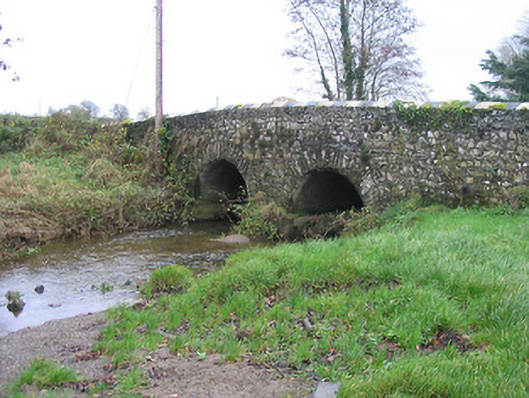 Caherlesk Bridgebridge · 729 yd
 BawnwilliamForest · 1266 yd
 Wellington Ho.Castle, unclassified · 1322 yd
 Sally OsiersForest · 1369 yd
 Loughbrack Church (Ballytobin)church/chapel · 1565 yd
 TowerHouse, fortified house · 1.0 mi
 Mill IslandIslet · 1.4 mi
 Pat WalshMemorial · 2.4 mi
 Green StreetVisitor information · 2.5 mi
 Edmund Rice MemorialMemorial · 2.5 mi
Other information
Photo: Credit not shown in the picture search · Rights wording not checked; contact us if this picture should be removed