What is recorded here
In reclaimed pasture, 95m N of townland boundary with Ballynamona. One of 11 barrows (LI049-072017-/026-/33-) in the SW corner of Lissard townland that makes up a barrow cemetery concentrated in an area measuring 240m N-S x 230m E-W. Barrow cemetery (LI049-072010/015-) located in field to W and barrow cemetery (LI041-032001/014-) in field to N. Not marked on historic OSi maps. In 1934 Ó Ríordáin (1936, 173) recorded numerous barrows in the townland of Lissard which he described as ‘very low earthen mounds surrounded by a slight ditch and sometimes showing also the remains of an outer bank. The rise to the centre was in all cases very slight and the monuments were such that that one might easily walk over them without noticing them. The slightly sunken circular ring which marked the position of the ditch was the most distinctive feature and was frequently to be noticed by reason of its wetness as compared with the surrounding ground, this causing the vegetation in it to be fresher and greener’. Barrow (LI049-072033-), located 140m to NW, is the only barrow in this cemetery excavated in 1935 by S. P. Ó Ríordáin (1936, 173-175). No surface remains visible on Digital Globe orthoimage taken between 2011-13 or on Google Earth orthoimages.
See attached location map taken from Ó Ríordáin and Google Earth orthoimage
Compiled by: Fiona Rooney
Date of upload: 5 October 2021
A Bronze Age barrow; part of a cemetery indicating early burial practices and social organization in the region.
The monument record does not grant public access. Check the route and ask the landowner before entering private land.
- What survives
- Recorded monument
Places near here
 BarrowBarrow, ditch barrow · 429 yd
 Partially indicatedFulacht fia · 638 yd
 Partially hachuredQuarry · 967 yd
 Darby's Bed Walk LoopWalking route · 1023 yd
 Duntryleague HillMountain / peak · 1072 yd
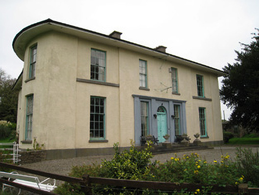 Glenefyhouse · 1073 yd
 Duntryleague - hachuredCastle, ringwork · 1697 yd
 Carn (site of)Cairn, burial cairn · 1.6 mi
 Ryves CastleCastle, unclassified · 1.8 mi
 Saint Patrick's WellSpring · 2.3 mi
 St Patrick's WellSpring · 3.3 mi
 Knockanebrack HillMountain / peak · 4.0 mi