What is recorded here
Barrow is a ditch barrow in County Limerick, Ireland, where six burial mounds cluster within a hundred and fifteen metres of one another. In 1935, S. P. Ó Ríordáin excavated three of them and found no unmistakable burial, only scattered fragments and dark soil pockets that may have marked disintegrated remains. The acid earth likely dissolved unprotected cremated bones, erasing the dead while leaving behind shallow ditches and faint circular shadows in the pasture.
In reclaimed pasture 30m E of a stream and 155m W of the townland boundary with Lissard. One of 6 barrows (LI049-072010/015-) in a field to E of drainage ditch that makes up a barrow cemetery concentrated in an area measuring 100m N-S x 115m E-W. Barrow cemetery (LI049-072001/009-) lies 70m to W and enclosure (LI049-072016-) lies 110m to SE. Three of the 6 barrows (LI049-072010/015-) in this cemetery were excavated in 1935 by S. P. Ó Ríordáin (1936, 176-177) the results of which were described as follows; ‘In 1935 further excavations were conducted on a total of twenty of these monuments. The results were frankly disappointing as no unmistakable burial was found in any of the barrows excavated. In one some scattered fragments of cremated bone were found, but it was not possible to say if these were human; in another three pockets filled with dark humified soil were revealed which may have marked disintegrated burials. Several solutions may be suggested to account for these negative results. It would appear on the available evidence probable that the majority of the burials were not contained in urns, and that they were burials after cremation. This being the case one may suppose on the evidence of the softness of the bones found in the Lissard barrow that an acid soil acting on the unprotected cremated remains completely dissolved them, leaving no trace. Another factor which we have to consider is the little protection afforded by the slight central mound. This was obviously formed by piling up some of the material from the comparatively shallow ditch, part going to the construction of the surrounding bank’ (Ó Ríordáin 1936, 177). This site which was excavated is located immediately NE of a drainage ditch running NW-SE in W corner of field and is visible as a faint circular-shaped cropmark (diam. c. 6m) on Google Earth orthoimages 28/06/2018
See attached location map taken from Ó Ríordáin and Google Earth orthoimage.
Compiled by: Martin Fitzpatrick
Date of upload: 24 September 2021
Ditch barrow, likely dating to the Early Bronze Age. Part of a barrow cemetery, indicating a significant ritual or burial landscape.
The monument record does not grant public access. Check the route and ask the landowner before entering private land.
- What survives
- Recorded monument
Places near here
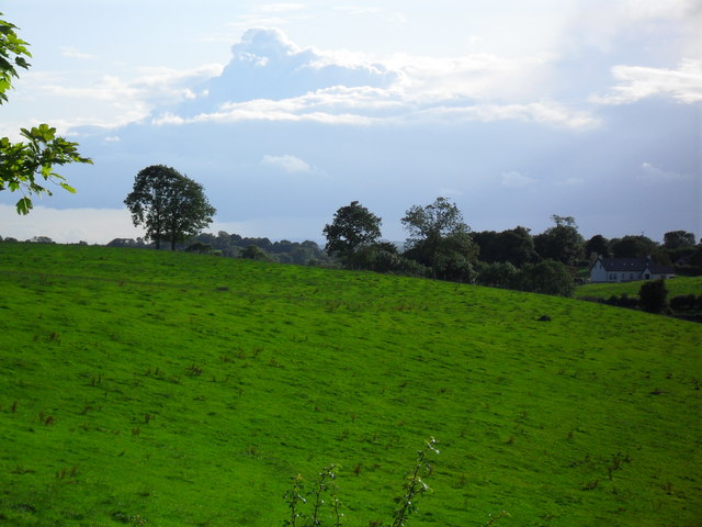 BarrowBarrow, ditch barrow · 127 yd
 Partially hachuredQuarry · 798 yd
 Partially indicatedFulacht fia · 970 yd
 Darby's Bed Walk LoopWalking route · 1225 yd
 Duntryleague HillMountain / peak · 1281 yd
 Duntryleague - hachuredCastle, ringwork · 1406 yd
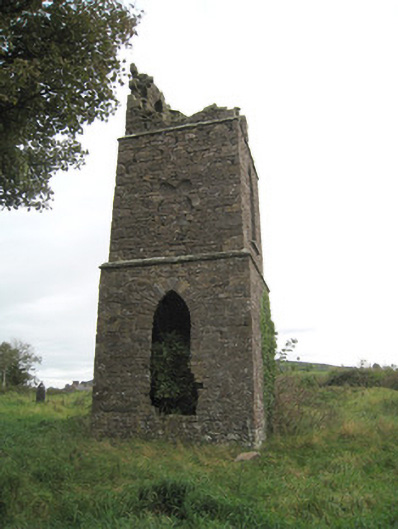 Duntryleague Church (Galbally)church/chapel · 1475 yd
 Ryves CastleCastle, unclassified · 1.6 mi
 Carn (site of)Cairn, burial cairn · 1.6 mi
 Saint Patrick's WellSpring · 2.0 mi
 St Patrick's WellSpring · 3.1 mi
 SlievereaghMountain / peak · 3.8 mi
Other information
Photo: Credit not shown in the picture search · Rights wording not checked; contact us if this picture should be removed