What is recorded here
Located in a pasture field bordered at W by a rocky shoreline. When first noted in 1991 this consisted of a rectangular area (c. 7m x 3m) defined by a shallow ditch (Wth c. 1m) with slight traces of an external bank (Wth 1m) (pers. comm. Victor Buckley, 2013). An inspection in 2013 found that land reclamation has taken place and there is now no visible trace of the monument. When noted in 1991 it was interpreted as a barrow, however, it appears to have been very similar in form and size to kelp-drying kilns (See for instance SL012-002001-) found elsewhere along the west Sligo coastline. There is another possible barrow (SL011-077----) located c. 150m to SSW.
Compiled by: Jane O'Shaughnessy
Date of upload: 26th November 2013
A Neolithic barrow, likely dating to the Early to Middle Bronze Age, representing a significant but poorly defined burial or ritual site; its location near a rocky shoreline suggests possible ceremonial or territorial significance.
This remains an important historical record, but the official description says the monument is no longer visible or has been destroyed. The monument record does not grant public access. Check the route and ask the landowner before entering private land.
- What survives
- No visible remains or recorded as destroyed
Places near here
 Field system in Carrowhubbuck NorthField system · 761 yd
 Enclosure in LackanEnclosure · 762 yd
 Castle FirbisCastle, tower house · 843 yd
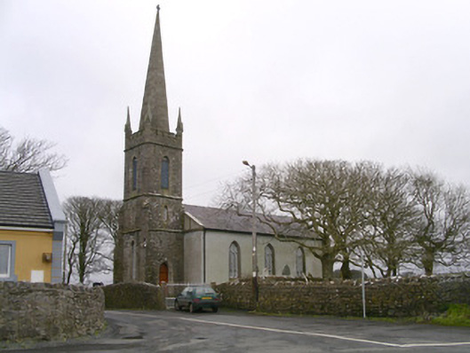 Kilglass Churchchurch/chapel · 1.0 mi
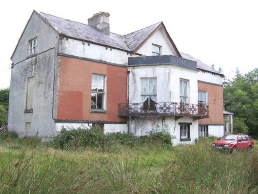 Kilglass Househouse · 1.1 mi
 Wild Atlantic Way: Inishcrone PierVisitor information · 1.3 mi
 Enniscrone BeachBeach / strand · 2.4 mi
 The Black PigMemorial · 2.6 mi
 Grave of the Black PigArchaeological place · 2.6 mi
 Rathlee HeadHeadland · 3.1 mi
 Horse IslandIslet · 3.7 mi
 Bartragh IslandIsland · 3.9 mi