What is recorded here
Timoney (1984, 323, no. 8) describes this as follows: ‘The total diameter of this barrow on flat ground is 20 m. The central area, which is at the same level as the surrounding field, is 8.40 m in diameter. There is a slight bank, 2.70 m wide and 10 cm high, on the edge of this area. There is a flat-bottomed fosse, 3.20 m wide and 20 cm deep. There is no evidence for an outer bank. Burenhult (1980:1, 97) lists this as Structure 70, Knocknahur North. It produced very low phosphate levels which argues against it being a hut site.’
Compiled by: Paul Walsh
Date of upload: 28 January 2014
The monument record does not grant public access. Check the route and ask the landowner before entering private land.
- What survives
- Recorded monument
Places near here
 Enclosure in BreeogeEnclosure · 217 yd
 IndicatedEnclosure · 232 yd
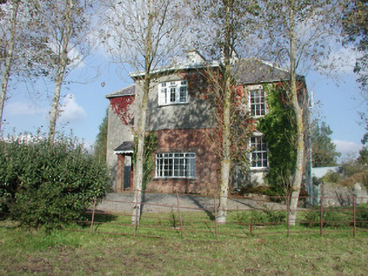 Breeoge Househouse · 919 yd
 Kiln in BreeogeKiln · 1183 yd
 Carrowmore Visitors CentreVisitor information · 1660 yd
 Castle (in Ruins)Castle, unclassified · 1.0 mi
 Carrowmore Megalithic CemeteryHeritage attraction · 1.1 mi
 CarrigeenfaddaIslet · 1.2 mi
 The GlenWood · 1.3 mi
 Knocknarea trailWalking route · 1.6 mi
 KnocknareaMountain / peak · 1.9 mi
 CastleCastle, unclassified · 2.0 mi