What is recorded here
Sited immediately S of the highest point of a drumlin ridge. Raised circular area (int. diam.12.7m N-S) enclosed by a substantial earthen bank with wide, shallow, internal fosse. Original entrance not recognisable.
The above description is derived from the published 'Archaeological Inventory of County Cavan' (Dublin: Stationery Office, 1995). In certain instances the entries have been revised and updated in the light of recent research.
Date of upload/revision: 22 December 2008
A Neolithic barrow; its location on a drumlin ridge suggests it may have had ritual or territorial significance in the landscape.
The monument record does not grant public access. Check the route and ask the landowner before entering private land.
- What survives
- Recorded monument
Places near here
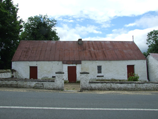 farm housefarm house · 372 yd
 Saint Patrick's Catholic Churchchurch/chapel · 386 yd
 Tober PatrickHoly well · 687 yd
 Killycluggin StoneVisitor information · 1372 yd
 Derryragh FortHilltop enclosure · 1500 yd
 Giants GraveArchaeological place · 1623 yd
 LissanoverCastle, unclassified · 1.0 mi
 Saint Mogue's IslandIslet · 1.2 mi
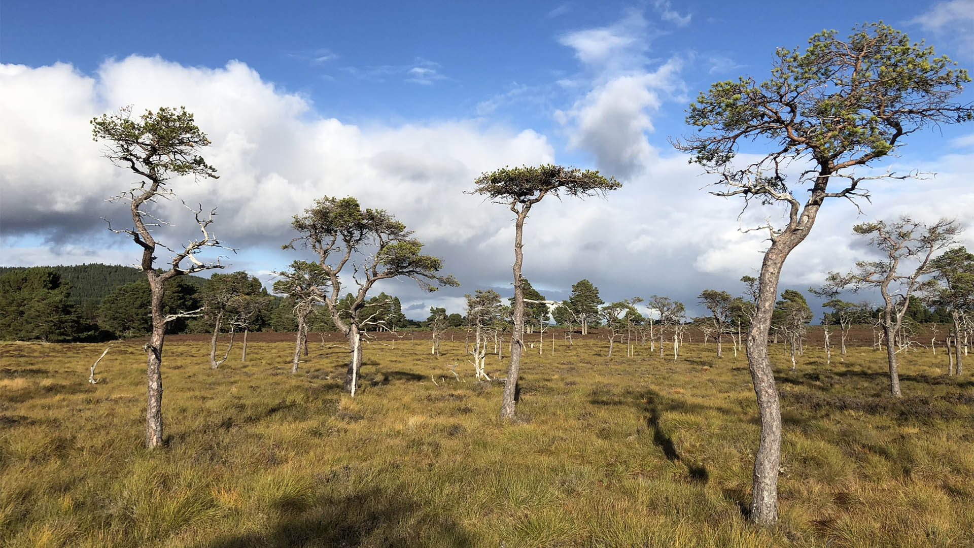 Derrycassan Bog WoodlandWood · 1.2 mi
 Common LimeCommon Lime · 1.3 mi
 Bellaheady MountainMountain / peak · 1.7 mi
 CastleCastle, ringwork · 2.2 mi