What is recorded here
In Annagh, County Limerick, a buried ring waits beneath flat pasture, defined only by a shallow scarp and wide ditch that resist the plough. Two other ancient shapes hover nearby, suggesting a forgotten gathering place where people once marked the boundary between the living and the dead. The land has been drained and levelled for generations, yet the circle persists as a faint shadow in the grass, inviting wonder rather than certain knowledge.
In pasture with possible standing stone (LI048-120----) 125m to NW and burial mound (LI048-060----) 85m to NE. Outline of low circular-shaped area (approx. diam. 26m) defined by a scarp and wide fosse (approx. Wth 5m) with possible entrance gap or filled in fosse at NE.
Compiled by: Caimin O'Brien
Date of upload: 13 August 2020
A Bronze Age ring barrow; its fosse and scarp suggest a ritual or defensive function, typical of funerary monuments from this period in Ireland.
The monument record does not grant public access. Check the route and ask the landowner before entering private land.
- What survives
- Recorded monument
Places near here
 Burial mound in GarrynleaseBurial mound · 121 yd
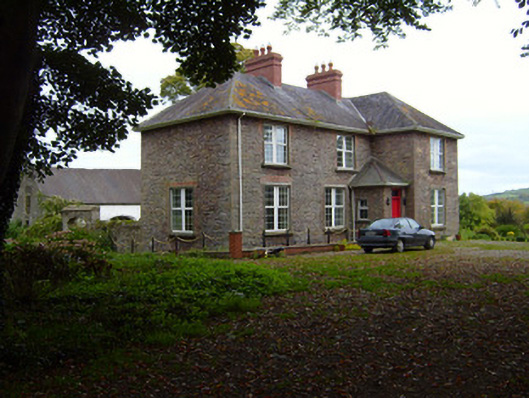 Kilfinnane Rectoryrectory/glebe/vicarage/curate's house · 338 yd
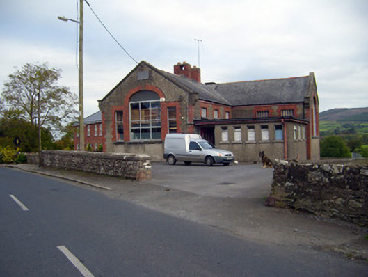 Kilfinnane Boys National Schoolschool · 445 yd
 Grave Yd.Graveyard · 725 yd
 Castle (in ruins)Castle, tower house · 763 yd
 Ballyhoura tourist informationVisitor information · 936 yd
 Treada Na Ríogh (The Moat), hachuredCastle, motte · 956 yd
 Palatine's RockNamed rock · 1604 yd
 Ballyhoura WayWalking route · 1.2 mi
 Ballinvreena LoopVisitor information · 2.1 mi
 Keale MountainMountain / peak · 2.4 mi
 Gooseberry HillMountain / peak · 2.5 mi