What is recorded here
In tillage. Powerstown River flows roughly E-W c. 150m to the S. Indicated on the 1st (1839) ed. OS 6-inch map as a circular enclosure (diam. c. 20m) with a field boundary running ESE-WNW along the N perimeter and another running roughly N-S along the W perimeter. On the 1900 revision neither the enclosure or the field boundaries are indicated, suggesting that they were removed between 1839 and 1900. A cist (KK025-009----) was discovered during ploughing in 1962 either within or in the immediate vicinity of the levelled enclosure (Prendergast 1962, 18-21). This suggests that the cist and enclosure are associated and, if so, that the enclosure is a levelled barrow.
Compiled by: Jean Farrelly
Date of upload: 28 February 2022
The monument record does not grant public access. Check the route and ask the landowner before entering private land.
- What survives
- Recorded monument
Places near here
 IndicatedEnclosure · 548 yd
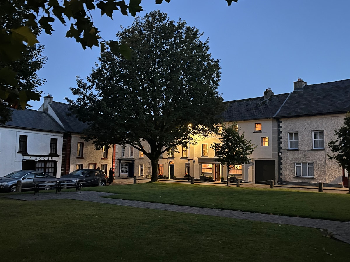 Not indciatedEnclosure · 802 yd
 MonasteryReligious house, unclassified · 1251 yd
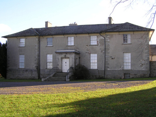 Barrowmount Housecountry house · 1370 yd
 Lord Galmoys Catle (in ruins)Castle, unclassified · 1420 yd
 CastleCastle, motte · 1632 yd
 Tinnakeenly BogForest · 2.5 mi
 The bogForest · 2.7 mi
 Tullaherin Church and Round TowerVisitor information · 5.9 mi
 Kilbline GraveyardArchaeological place · 6.9 mi
 St. Mogarra’s WellSpring · 7.1 mi
 Time CapsuleMemorial · 7.6 mi