What is recorded here
There is no file in the ASI archives for this entry. Small circular-shaped poorly drained area (diam. c. 18m) defined by a line of rushes possibly indicating the presence of a ditch visible on Digital Globe orthoimage taken between 2011-13. Could be the remains of a ditch barrow or a natural pond of no archaeological significance.
Compiled by: Caimin O'Brien
Date of upload: 16 August 2023
The monument record does not grant public access. Check the route and ask the landowner before entering private land.
- What survives
- Recorded monument
Places near here
 EnclosureEnclosure, large enclosure · 854 yd
 Washford Bridgebridge · 1009 yd
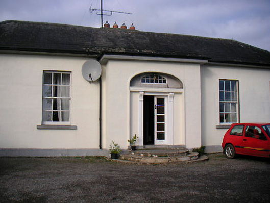 Lurgan Housecountry house · 1059 yd
 IndicatedFairy fort / earthen ringfort · 1456 yd
 Bawn in KillarecastleBawn · 1721 yd
 European ashEuropean ash · 1.1 mi
 CastleCastle, tower house · 1.1 mi
 Hill of UisneachMountain / peak · 1.6 mi
 Sam's ParkForest · 2.8 mi
 KnockastiaMountain / peak · 4.2 mi
 Craft WorkshopHeritage attraction · 6.1 mi
 Guest ServicesVisitor information · 6.1 mi