
What is recorded here
Situated in recently cleared upland pasture by the roadside close to Mountseskin. The site appears as a slightly raised platform of earth and stone (diam. c. 16m; H 0.4m) (Healy 1975, 1-19).
Compiled by: Geraldine Stout and Padraig Clancy
Revised upload on: 6 July 2018
A local ancient tomb; wider significance not recorded.
The monument record does not grant public access. Check the route and ask the landowner before entering private land.
- What survives
- Recorded monument
Places near here
 BarrowBarrow, ring-barrow · 383 yd
 Mound in Raheen (newcastle By.)Mound · 425 yd
 Verschoyle's HillMountain / peak · 882 yd
 KnackannaveaMountain / peak · 1405 yd
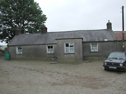 farmyard complexfarmyard complex · 1499 yd
 Bridge in Lugg,sladeBridge · 1517 yd
 Graveyard in BallymanaGraveyard · 1.7 mi
 CastleCastle, tower house · 1.8 mi
 Rathcoole WoodlandWood · 2.0 mi
 Meadow WildlifeVisitor information · 2.2 mi
 Inniscara GalleryGallery · 2.5 mi
 Early Stadium DesignHeritage attraction · 3.3 mi
Other information
Photo: Credit not shown in the picture search · Rights wording not checked; contact us if this picture should be removed