What is recorded here
There is no paper file in the ASI archive for this monument. In poorly drained grassland, with motte and bailey castle (WM006-027----) 70m to NW. Outline of circular-shaped earthwork (diam. c. 16m) defined by a ditch visible on Digital Globe orthoimage taken between 2011-13.
See attached Google Earth orthoimages
Compiled by: Caimin O'Brien
Date of upload: 16 August 2023
The monument record does not grant public access. Check the route and ask the landowner before entering private land.
- What survives
- Recorded monument
Places near here
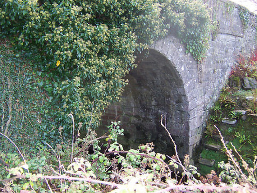 Ardglass Bridgebridge · 400 yd
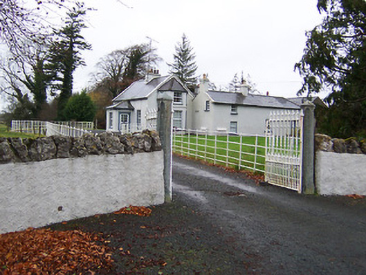 Fairy Hallhouse · 594 yd
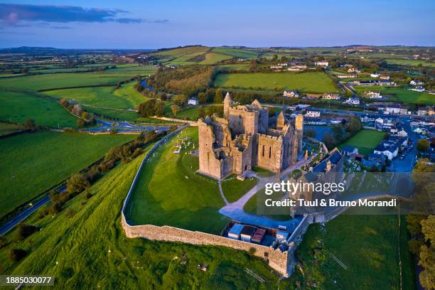 Partially hachuredEnclosure · 1640 yd
 OutlinedBawn · 1.1 mi
 Site of CastleCastle, unclassified · 1.3 mi
 Ecclesiastical enclosure in RathaspickEcclesiastical enclosure · 1.4 mi
 Sweet ChestnutSweet Chestnut · 1.9 mi
 Silver FirSilver Fir · 2.3 mi
 Edgeworthstown BypassMemorial · 5.6 mi
 Granard MotteMotte-and-bailey castle remains · 9.6 mi
 1798 Monumentmonument · 9.7 mi
 Bully's Acregraveyard/cemetery, unknown · 11 mi