What is recorded here
In gently undulating, poorly drained pasture. A circular area (diam. 22m) defined by scarp (Wth 1.1-2.3m; H 0.65-0.7m) and an external fosse (Wth 3.8-6.45m; D 0.1-0.3m) which is best defined from SSE-NW. There is a possible causewayed entrance (Wth 6m) at the NNW. The interior is generally level with frequent rushes. There is a possible ditch barrow (TS059-002001-) within the SE quadrant.
Compiled by: Jean Farrelly
Date of upload: 24 September 2013
A Neolithic barrow, likely a ring barrow or bell barrow, dating to the Early to Middle Neolithic period (c. 3500–2500 BCE). Its construction features, including a scarp and fosse, indicate a ceremonial or funerary function typical of Neolithic burial monuments in lowland Britain.
The monument record does not grant public access. Check the route and ask the landowner before entering private land.
- What survives
- Recorded monument
Places near here
 Enclosure in LisheenkyleEnclosure · 1461 yd
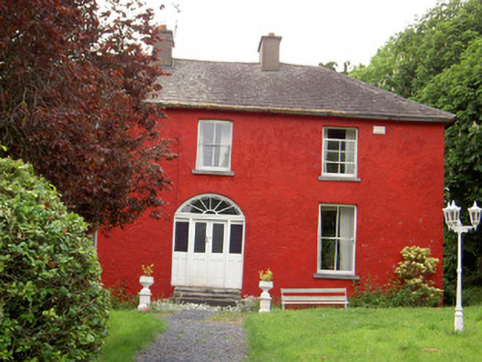 Chadville Househouse · 1.1 mi
 Enclosure in Newtown (solloghodbeg Par.)Enclosure · 1.4 mi
 IndicatedCastle, unclassified · 1.5 mi
 Soloheadbeg Ambushambush · 1.5 mi
 Garryshane National Schoolschool · 1.7 mi
 CastleCastle, ringwork · 1.8 mi
 Soloheadbeg Ambush SiteMemorial · 2.0 mi
 Oola HillMountain / peak · 3.0 mi
 I.R.A. 3rd. Tipperary Brigade MemorialMemorial · 4.4 mi
 It's a long way to TippereryHeritage attraction · 4.5 mi
 European ashEuropean ash · 5.1 mi