What is recorded here
Barrow occupies the centre of a tree-lined avenue leading south to Caherass Court in County Limerick, an oval earthwork about thirty-six metres across that appeared on maps only after the demesne landscape took shape. It may be a prehistoric burial mound or merely a Victorian garden feature, dressed in grass and shadow until measurement gave it form. The distinction barely matters once you walk the avenue at dusk; the ground has already decided what it wants to remember.
In pasture on a gently E-facing slope, with good views in all directions. Standing in the centre of a tree-lined avenue running S to Caherass Court located 415m to S. Tree-ring (LI021-087----) 120m to NW. Not shown on the 1840 ed. OSi 6-inch map. Depicted on the 1897 ed. OSi 25-inch map as an oval-shaped mound (ext. diam. 36m NE-SW; 35m NW-SE) defined by a fosse located within a tree lined landscape demesne avenue. The fosse (Wth c. 6m) encloses the site on all sides with a possible entrance at NE. Inspected by the ASI in 2001 when it was described as levelled with irregular undulations at the site. The location of the levelled earthwork is visible on Google Earth orthoimages taken 28/06/2018 and 14/02/2020. Possibly a small mound enclosed by a fosse similar to small barrow type monument. The siting of the earthwork on a tree-lined avenue associated with Caherass Court may suggest the remains of a 19th century landscape feature rather than a prehistoric burial mound.
See attached Google Earth orthoimages
Compiled by: Edmond O’Donovan
Date of upload: 16 August 2020
The monument record does not grant public access. Check the route and ask the landowner before entering private land.
- What survives
- Recorded monument
Places near here
 Church (in ruins)Church · 538 yd
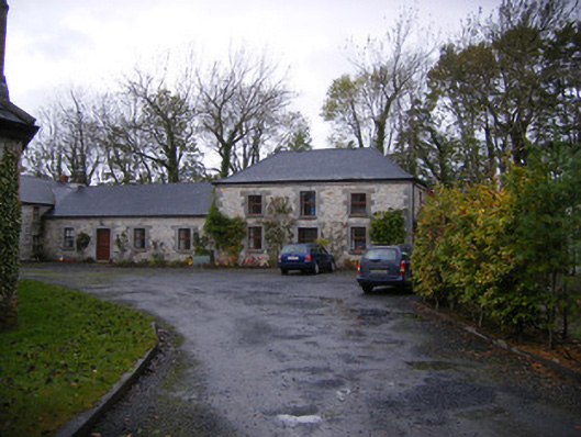 Caherass Houseoutbuilding · 576 yd
 BarrowBarrow, ditch barrow · 708 yd
 Fanningstown Castle (in ruins)Castle, tower house · 1232 yd
 Partially hachuredFairy fort / earthen ringfort · 1387 yd
 Site of CastleCastle, unclassified · 1.0 mi
 Dysert AenghusaHeritage attraction · 1.2 mi
 Biodiversity in the Maigue CatchmentVisitor information · 1.5 mi
 European ashEuropean ash · 2.2 mi
 GinkgoGinkgo · 2.3 mi
 Kinnoor WellSpring · 2.6 mi
 Monasteranenagh AbbeyHeritage attraction · 3.6 mi