What is recorded here
On gently undulating terrain in the landscaped demesne of Damshire House. Circular mound with external annular ditch (max. ext. diam. c. 14m). No visible surface remains. Visible on aerial photograph (G.S.I. O 73/N 332/333 (1973)).
Compiled by: Matt Kelleher
Date of upload: 04 December 2012
A Neolithic barrow, dating to the 4th–3rd millennium BCE. Its presence indicates early settlement and ritual activity in the Blessington area, though its wider significance remains unexplored.
The monument record does not grant public access. Check the route and ask the landowner before entering private land.
- What survives
- Recorded monument
Places near here
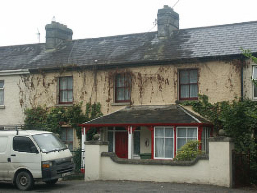 Mountain View Househouse · 335 yd
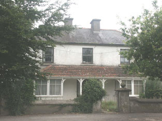 Quidarahouse · 349 yd
 The Square RenewalMemorial · 383 yd
 Dame Ninette de ValoisMemorial · 426 yd
 Blessington DemesneWood · 592 yd
 IndicatedEnclosure · 635 yd
 ToberanbrickHoly well · 756 yd
 Deer Park PlantationForest · 1420 yd
 Castle (in ruins)Castle, tower house · 1.5 mi
 CastleCastle, tower house · 2.0 mi
 Artisans WorkshopsHeritage attraction · 2.8 mi
 National Bird of Prey CentreHeritage attraction · 2.8 mi