What is recorded here
Modern coniferous forestry plantation located in area where possible burial mound is marked on OS 6-inch map. Unable to locate presence of burial mound inside forestry plantation where monument is marked on the OS 6-inch map. Monument described in 1972 as ‘a small artificial mound (not shown on the map) about 3 ft [0.9m] high x 10 paces overall (roughly circular) diameter. It looks like a burial mound of some kind. It is grass-covered and not apparently stony. It lies approximately 123 paces N.E. of a boulder marked ‘Gallaun’ [TN025-030----] on the 25 inch map, but not shown on the current 6 inch map’ (SMR File 12/06/1972). This monument was placed on the Register of Historic Monuments in 1975.
Compiled by: Caimin O'Brien
Date of upload: 8 April 2015
The monument record does not grant public access. Check the route and ask the landowner before entering private land.
- What survives
- Recorded monument
Places near here
 Enclosure in Roran (templeachally Par.)Enclosure · 1.1 mi
 Mass RockMass-rock · 1.3 mi
 Water millWater mill, unclassified · 1.4 mi
 Chapel in CurraghavillerChapel · 1.5 mi
 Model Farm 1850Heritage attraction · 1.6 mi
 TountinnaMountain / peak · 1.8 mi
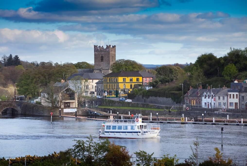 Cloghaneena (in ruins)Castle, hall-house · 2.0 mi
 Ballina Castle (in ruins)Castle, tower house · 2.0 mi
 My Next AdventureHeritage attraction · 2.0 mi
 Brian Boru Heritage CentreVisitor information · 2.1 mi
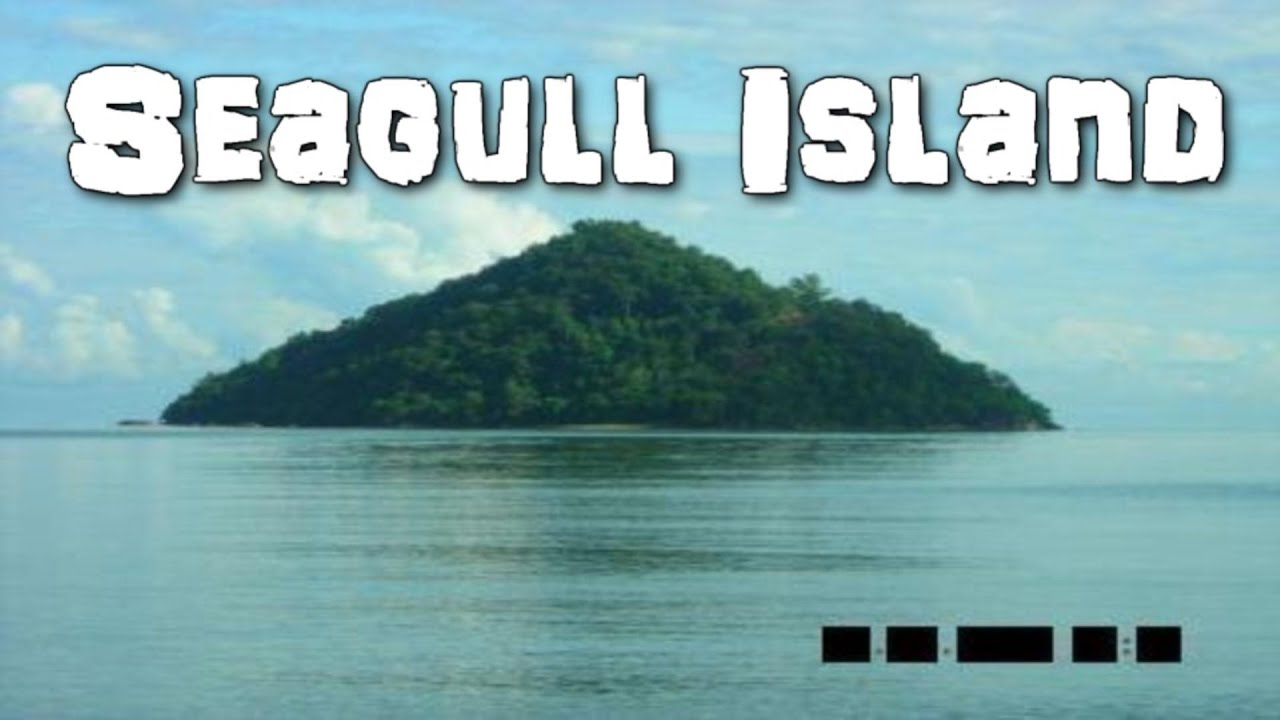 Seagull IslandIslet · 2.2 mi
 Coum HillMountain / peak · 2.2 mi