
What is recorded here
Situated on a low natural rock outcrop at the N end of a low N-S ridge in a mountain valley, overlooked by higher ground on all sides. The site consists of a section of a drystone field wall (H 1.1m; T 0.5m; L 22m) extending N-S across the top of a low ridge which according to local knowledge is the site of a penal chapel. This appears to be the remains of an old field boundary with no evidence of any cut stone or building material for a building. In the Archbishop's Visitation of Ballina in 1752 it is recorded that there was a chapel in the mountain which local people believe to have been located at this site (Griffin and Griffin 2000, 62).
The above description is derived from 'The Archaeological Inventory of County Tipperary. Vol. 1 - North Tipperary' compiled by Jean Farrelly and Caimin O'Brien (Dublin: Stationery Office, 2002). In certain instances the entries have been revised and updated in the light of recent research.
Date of upload/revision: 22 September 2008
A local church or high cross; wider significance not recorded.
The monument record does not grant public access. Check the route and ask the landowner before entering private land.
- What survives
- Recorded monument
Places near here
 Seagull IslandIslet · 1415 yd
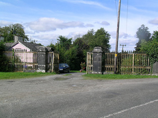 Derry Castledemesne walls/gates/railings · 1467 yd
 Model Farm 1850Heritage attraction · 1475 yd
 Enclosure in BallinaEnclosure · 1.1 mi
 OutlinedCrannog · 1.3 mi
 Brian Boru FortHeritage attraction · 1.4 mi
 Rinnaman PointHeadland · 1.5 mi
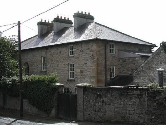 Ferns Hollowhouse · 1.6 mi
 Ballina Castle (in ruins)Castle, tower house · 1.6 mi
 Brian Boru Heritage CentreVisitor information · 1.7 mi
 TountinnaMountain / peak · 1.8 mi
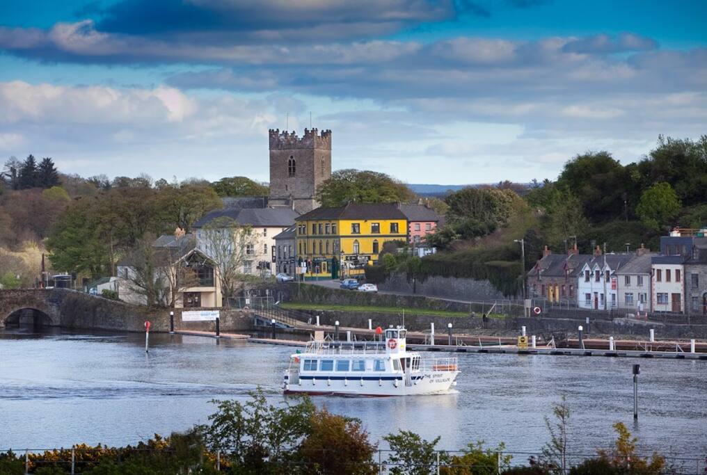 Cloghaneena (in ruins)Castle, hall-house · 1.9 mi
Other information
Photo: Credit not shown in the picture search · Rights wording not checked; contact us if this picture should be removed