
What is recorded here
Indicated on a Longfield estate map (title, author, date), identified and reported by Jean-Charles Caillère, as a circular enclosure (diam. c. 32m) defined by hachures. The field boundary running along the S perimeter is depicted as kinking out to following the line of the curvilinear enclosure. Another field boundary runs roughly N-S through the centre of the enclosure. The enclosure is not indicated on the 1st ed. (1840) 6-inch OS map, the N-S field boundary is shown, as is the S field boundary but without a kink and a spot height is given as 258ft in the area corresponding to the NW quadrant of the enclosure on the Longfield map. The location is currently occupied by a housing estate, ‘The Brook’, which is part of the northern expansion of the town of Ballina.
Compiled by: Jean Farrelly
A local fairy fort (ringfort/rath); wider significance not recorded.
The monument record does not grant public access. Check the route and ask the landowner before entering private land.
- What survives
- Recorded monument
Places near here
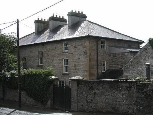 Ferns Hollowhouse · 799 yd
 Ballina Castle (in ruins)Castle, tower house · 933 yd
 Washerwoman BridgeMonument · 945 yd
 Catholic Church of Our Lady and Saint Luachurch/chapel · 974 yd
 Brian Boru Heritage CentreVisitor information · 1120 yd
 My Next AdventureHeritage attraction · 1154 yd
 Cath.Cathedral · 1216 yd
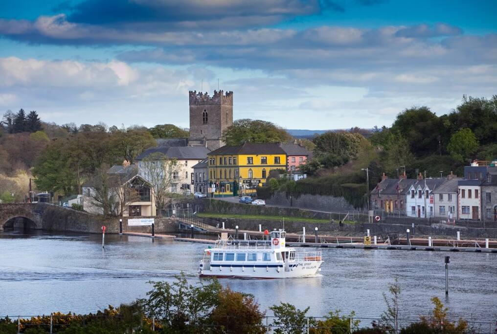 Cloghaneena (in ruins)Castle, hall-house · 1428 yd
 Brian Boru FortHeritage attraction · 1521 yd
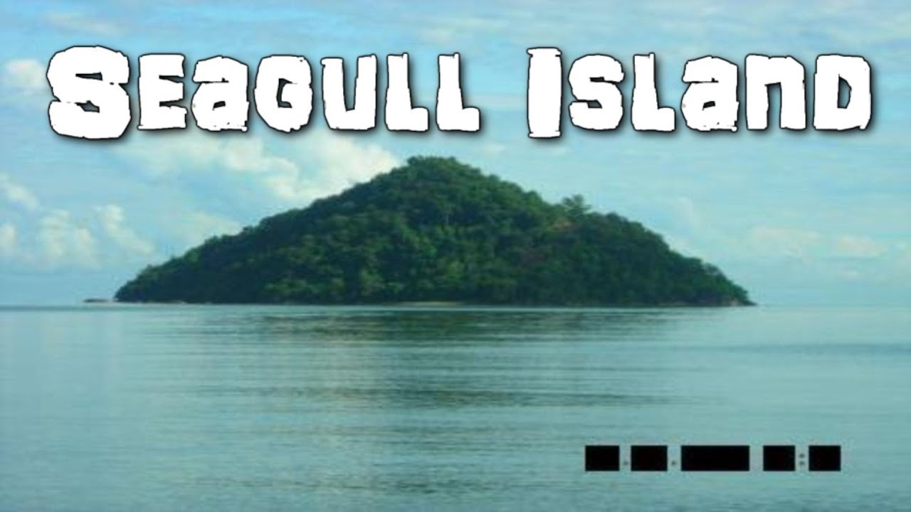 Seagull IslandIslet · 1.2 mi
 Rinnaman PointHeadland · 2.0 mi
 BallycuggaranForest · 2.5 mi
Other information
Photo: Credit not shown in the picture search · Rights wording not checked; contact us if this picture should be removed