What is recorded here
In reclaimed pasture 175m E of a watercourse that marks the townland boundary with Bulgaden. Not depicted on OSi historic maps. Identified as a possible barrow by Bruff aerial photographic survey in 1986 (Bruff 107; AP 5/2117). Visible as a circular cropmark on OSi orthophotos taken between 2005-2012. No surface remains visible on Google Earth orthoimages.
See attached Bruff aerial photograph and Google Earth orthoimages.
Compiled by: Martin Fitzpatrick
Date of upload: 28 June 2021
A Neolithic or early Bronze Age barrow; its significance lies in its potential to contribute to understanding prehistoric burial practices in the region, though its precise type and date remain undetermined.
The monument record does not grant public access. Check the route and ask the landowner before entering private land.
- What survives
- Recorded monument
Places near here
 RoadRoad, road/trackway · 830 yd
 Embanked enclosure in BulgadenhallEmbanked enclosure · 998 yd
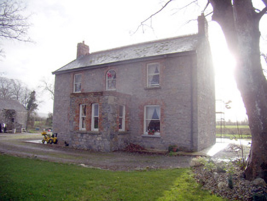 Lady Househouse · 1073 yd
 St Patricks WellHoly well · 1095 yd
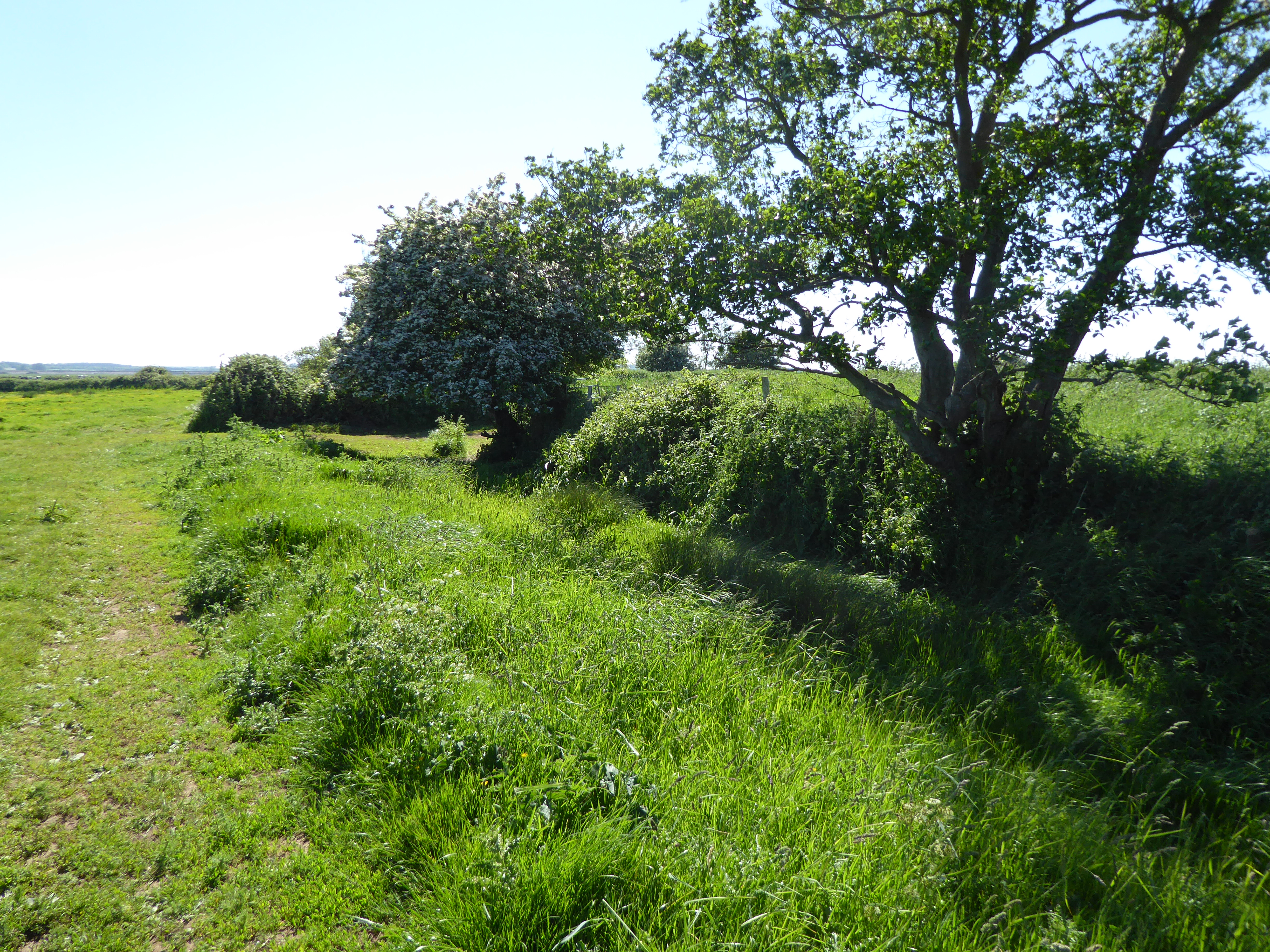 Site of Bulgaden HallCastle, unclassified · 1323 yd
 Gormanstown Castle (in ruins)Castle, unclassified · 1684 yd
 KnockainyMountain / peak · 3.6 mi
 Flat cemetery in Knockainy WestFlat cemetery · 3.6 mi
 Ballinvreena LoopVisitor information · 4.1 mi
 Edmund's WellSpring · 4.2 mi
 St Patrick's WellSpring · 4.3 mi
 Ballyhoura tourist informationVisitor information · 5.2 mi