What is recorded here
Aerial photograph (CUCAP BOC 70) shows the cropmark of a fosse surrounding a small circular area (est. max diam. c. 20m). Probably a ringbarrow or ringditch.
Date of upload: 8 September 2016
The monument record does not grant public access. Check the route and ask the landowner before entering private land.
- What survives
- Recorded monument
Places near here
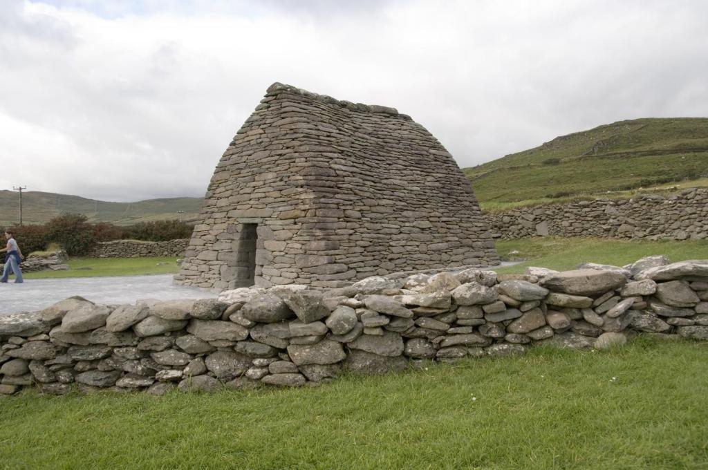 Enclosure in ArdreeEnclosure · 992 yd
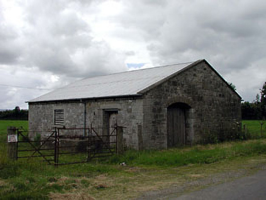 forge/smithyforge/smithy · 1044 yd
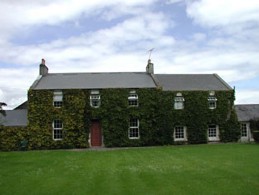 Heath Housefarm house · 1099 yd
 EnclosureEnclosure, large enclosure · 1109 yd
 CastleCastle, motte · 1420 yd
 .Site of St. Legers CastleCastle, unclassified · 1.1 mi
 Neil HannonMemorial · 1.1 mi
 Zoltan Zinn-Collis memorialMemorial · 1.8 mi
 Town HallMuseum · 1.9 mi
 Dollardstown WoodForest · 2.1 mi
 Scots PineScots Pine · 2.8 mi
 History of Moat of ArdscullVisitor information · 4.3 mi