
What is recorded here
Cropmark of large semi-circular-shaped enclosure (approx. diam. 85m) visible on Google earth aerial imagery.
See attached image taken from Google Earth aerial photographs taken 25/06/2018
Compiled by: Caimin O'Brien based on details provided by Jean-Charles Caillère
Date of upload: 28 May 2019
A local fairy fort (ringfort/rath); wider significance not recorded.
The monument record does not grant public access. Check the route and ask the landowner before entering private land.
- What survives
- Recorded monument
Places near here
 Enclosure in BarrowhouseEnclosure · 407 yd
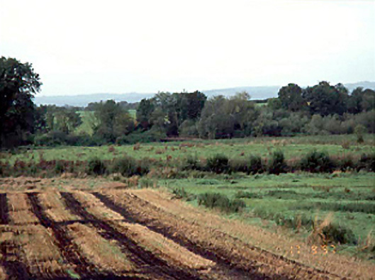 Kilmorony Housebridge · 855 yd
 Enclosure in Shanganagh BegEnclosure · 1027 yd
 .Site of St. Legers CastleCastle, unclassified · 1166 yd
 Kilmorony House (ruins)Ruins · 1194 yd
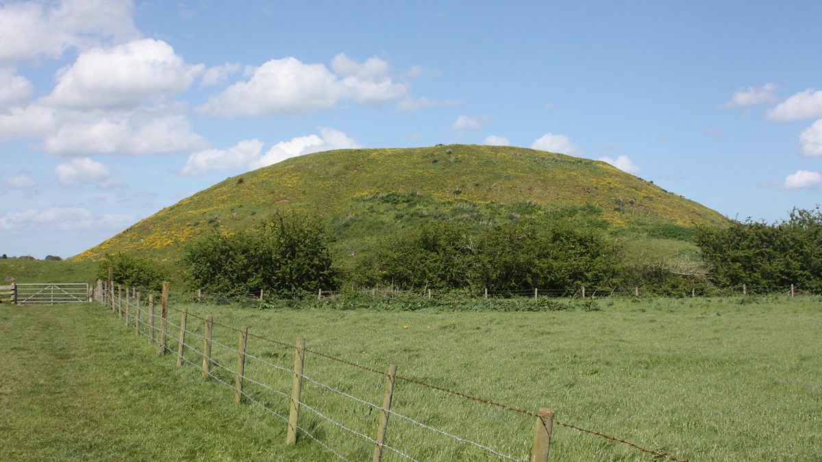 The MoundCastle, motte and bailey · 1472 yd
 Neil HannonMemorial · 1.4 mi
 Dollardstown WoodForest · 2.1 mi
 Town HallMuseum · 2.3 mi
 Scots PineScots Pine · 3.4 mi
 Lorcán Ó TuathailMemorial · 4.1 mi
 History of Moat of ArdscullVisitor information · 4.9 mi
Other information
Photo: Credit not shown in the picture search · Rights wording not checked; contact us if this picture should be removed