What is recorded here
Situated at the S end of a ridge running N-S, with marked slopes on the SW and SE sides. Circular mound (diam. 20m; H 4m); the outer portion is formed by a low berm (Wth 3m; H 1.5m) possibly representing an eroded bank (Price 1934, 47). A cist (dims. 0.8m x 0.45m; D 0.5m; aligned E-W), S of the centre of the mound, covered by a single capstone was discovered during the destruction of the site in 1958. It contained cremations of three adult females, a newborn and a 6-8 year old child with a flint arrowhead. Not visible at ground level. (Lucas 1960, 84-8)
The above description is derived from the published 'Archaeological Inventory of County Wicklow' (Dublin: Stationery Office, 1997). In certain instances the entries have been revised and updated in the light of recent research.
Date of upload/revision: 17 December 2008
Stepped barrow, likely dating to the Early Bronze Age. Its construction and positioning suggest a ceremonial or funerary function, reflecting early mound-building traditions in the region.
The monument record does not grant public access. Check the route and ask the landowner before entering private land.
- What survives
- Recorded monument
Places near here
 Enclosure in RathmoonEnclosure · 522 yd
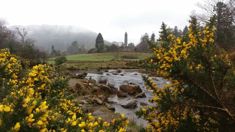 RathmoonHilltop enclosure · 866 yd
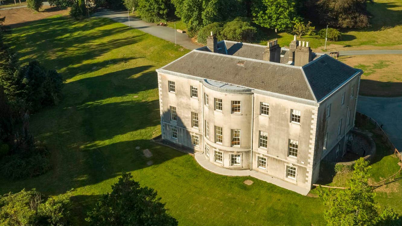 Site of Stratord LodgeRuins · 1342 yd
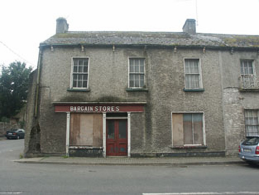 Bargain Storeshouse · 1539 yd
 CastleCastle, tower house · 1738 yd
 Tinoran HillMountain / peak · 1.4 mi
 Site of CastleCastle, unclassified · 1.8 mi
 Rahill Church (in ruins), GraveyardChurch · 2.2 mi
 European ashEuropean ash · 2.4 mi
 Sam McAllistair GraveMemorial · 4.2 mi
 Saint Brigit's Mass StoneNamed rock · 4.3 mi
 European LarchEuropean Larch · 4.3 mi