What is recorded here
Situated on a slight rise on a N-S ridge in gently undulating pasture-land. A platform (diam. 29m NW-SE) of earth and stone with a central mound, berm (Wth 2.5m) and fosse (Wth 3m; D 0.17m). Field-clearance debris up to 2m high along the edge of the site while the interior is covered by dumped wood and heavy scrub growth which greatly hindered inspection. Possible original bank in SE quadrant (Wth 2.5m; int. H 0.26m; H above fosse 0.9m). The interior slopes with the natural topography to the E and W. Slight hollow at top of mound.
The above description is derived from 'The Archaeological Inventory of County Tipperary. Vol. 1 - North Tipperary' compiled by Jean Farrelly and Caimin O'Brien (Dublin: Stationery Office, 2002). In certain instances the entries have been revised and updated in the light of recent research.
Date of upload/revision: 22 September 2008
Stepped barrow, likely dating to the Early Bronze Age. Its construction and positioning suggest ceremonial or funerary significance, typical of burial monuments in this tradition.
The monument record does not grant public access. Check the route and ask the landowner before entering private land.
- What survives
- Recorded monument
Places near here
 CastleCastle, ringwork · 726 yd
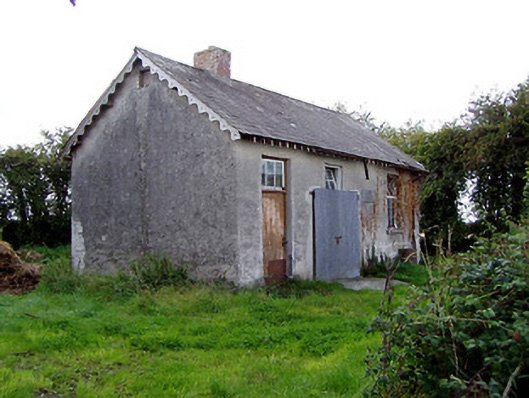 Behamore National Schoolschool · 1112 yd
 Behamore CastleCastle · 1131 yd
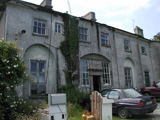 Deerpark Housecountry house · 1.2 mi
 Knockanacree WoodForest · 1.2 mi
 Fulacht fia in CloghjordanparkFulacht fia · 1.3 mi
 Enclosure in OxparkEnclosure · 1.4 mi
 MacDonagh HouseMemorial · 1.9 mi
 Thomas MacDonagh Heritage CentreMuseum · 1.9 mi
 Cangort WoodWood · 2.8 mi
 James Devaney MemorialMemorial · 6.9 mi
 Gibbet HillMountain / peak · 11 mi