What is recorded here
Situated on a rise towards the bottom of the SE-facing slope of a drumlin. This is a raised, circular, and overgrown earthen platform (diam. 29m E-W; H 1.2-1.4m) planted with deciduous trees. It is defined by a fosse (Wth of top 5.5-8.6m; Wth of base 3m at W to 6m at E; ext. D 0.3m at W) which has silted up to the top of an outer bank (at W: Wth of base 10m; Wth of top 3.5m; ext. H 1.7m) almost everywhere, reducing the bank to an outer scarp (at E: Wth 6.3m; H 1.5m) (max. ext. diam. 58m E-W). There is no identifiable entrance feature. It could be a platform rath, but the wide outer bank suggests it is more likely to be a platform barrow.
The above description is derived from 'The Archaeological Inventory of County Leitrim' compiled by Michael J. Moore (Dublin: Stationery Office, 2003). In certain instances the entries have been revised and updated in the light of recent research.
Compiled by: Michael Moore
Date of revised upload: 14 October 2019
Stepped barrow, likely dating to the Early Bronze Age. Its construction reflects a regional variation in burial mound design and indicates ritual or funerary significance in the local prehistoric landscape.
The monument record does not grant public access. Check the route and ask the landowner before entering private land.
- What survives
- Recorded monument
Places near here
 Kilnamarve ForestForest · 439 yd
 Drumergoole WoodForest · 796 yd
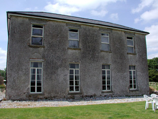 Kilbrackan Housecountry house · 931 yd
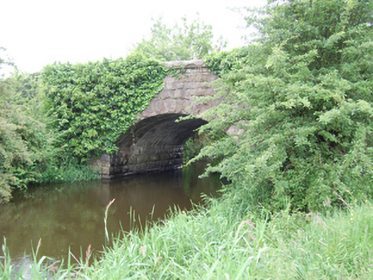 Kilbrackan Bridgebridge · 1236 yd
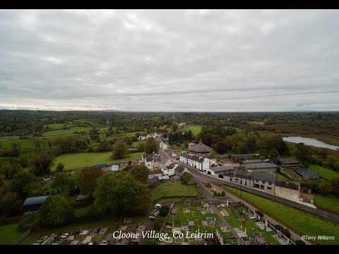 Enclosure in DrumhalryEnclosure · 1.3 mi
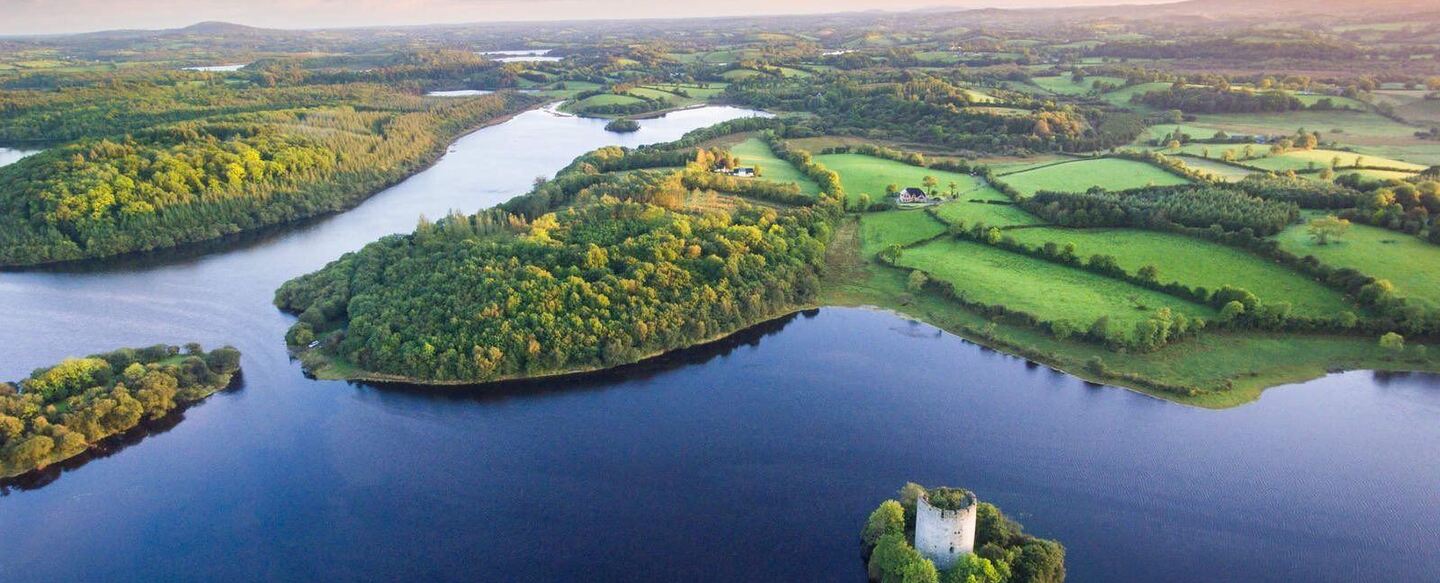 IndicatedFairy fort / ringfort · 1.4 mi
 King's GraveArchaeological place · 1.6 mi
 DrumbreanlisMountain / peak · 2.2 mi
 CorradarrenMountain / peak · 2.4 mi
 Killeshandra Irish Countrywomen's Association 70th AnniversaryMemorial · 3.5 mi
 Crane IslandIslet · 4.9 mi
 BatteryBawn · 4.9 mi