What is recorded here
Near the top of a gentle S-facing slope. Visible on an aerial photograph (DoD, 1999). A low but well-preserved, gently domed, circular mound (base diam. 13m; upper surface diams. 11.6m E-W; 7.8m N-S; H 0.4-0.8m) is girdled by a narrow berm (Wth 1.5-2m).
Compiled by: Gearóid Conroy
Date of upload: 10 June 2011
Stepped barrow, likely dating to the Early Bronze Age. Its construction and preservation offer insight into burial practices and landscape use in the Curragh region.
The monument record does not grant public access. Check the route and ask the landowner before entering private land.
- What survives
- Recorded monument
Places near here
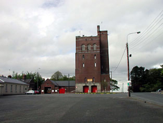 Curragh Camp Fire Stationfire station · 952 yd
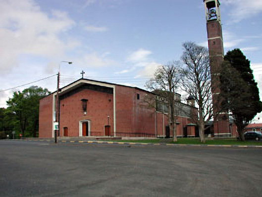 Saint Brigid's Catholic Churchchurch/chapel · 1021 yd
 Enclosure in Curragh (kildare Ed)Enclosure · 1.2 mi
 Enclosure in Curragh (ballysax East Ed)Enclosure · 1.2 mi
 CastleCastle, unclassified · 1.5 mi
 TumulusCastle, motte and bailey · 1.5 mi
 ElderElder · 1.9 mi
 Newbridge SilverwareMuseum · 2.0 mi
 Pollardstown Fen Nature ReserveNature reserve · 2.4 mi
 Saint Fiachra's GardenHeritage attraction · 2.9 mi
 Grand Canal WayVisitor information · 7.8 mi
 Bithia Mary CrokerMemorial · 8.2 mi