
What is recorded here
Situated at the NE edge of a low rise, in pasture, with wide views to N and E and overlooked by rising ground to S and W. Ringfort (WM025-037001-) and Man-made underground passage (WM025-037002-) lie c. 40m to S. Not depicted on the 1837 ed. OS 6-inch map or the revised 1913 ed. OS 25-inch map. Monument described as a…
Read the whole record
From the National Monuments Service (Archaeological Survey of Ireland) record WM025-036
Places near here
Photo credits
- National Inventory of Architectural Heritage
- Maker not stated on source page, athlone.ie
- Maker not stated on source page, www.patrickcomerford.com
- Maker not stated on source page, ru.pinterest.com
- Maker not stated on source page, commons.wikimedia.org
- Maker not stated on source page, www.whytes.ie
- Maker not stated on source page, www.gaia.com
- Maker not stated on source page, www.flickr.com
 Churchtown HouseRectory/glebe/vicarage/curate's house · 1150 yd
Explorer Tom Churchtown House has had so many former names it could write its own biography in a small font. It’s still standing…
 Balrath LodgeHouse · 1261 yd
Explorer Tom Balrath Lodge in Balrath would review its own visitors as five stars for bringing snacks but zero stars for touching…
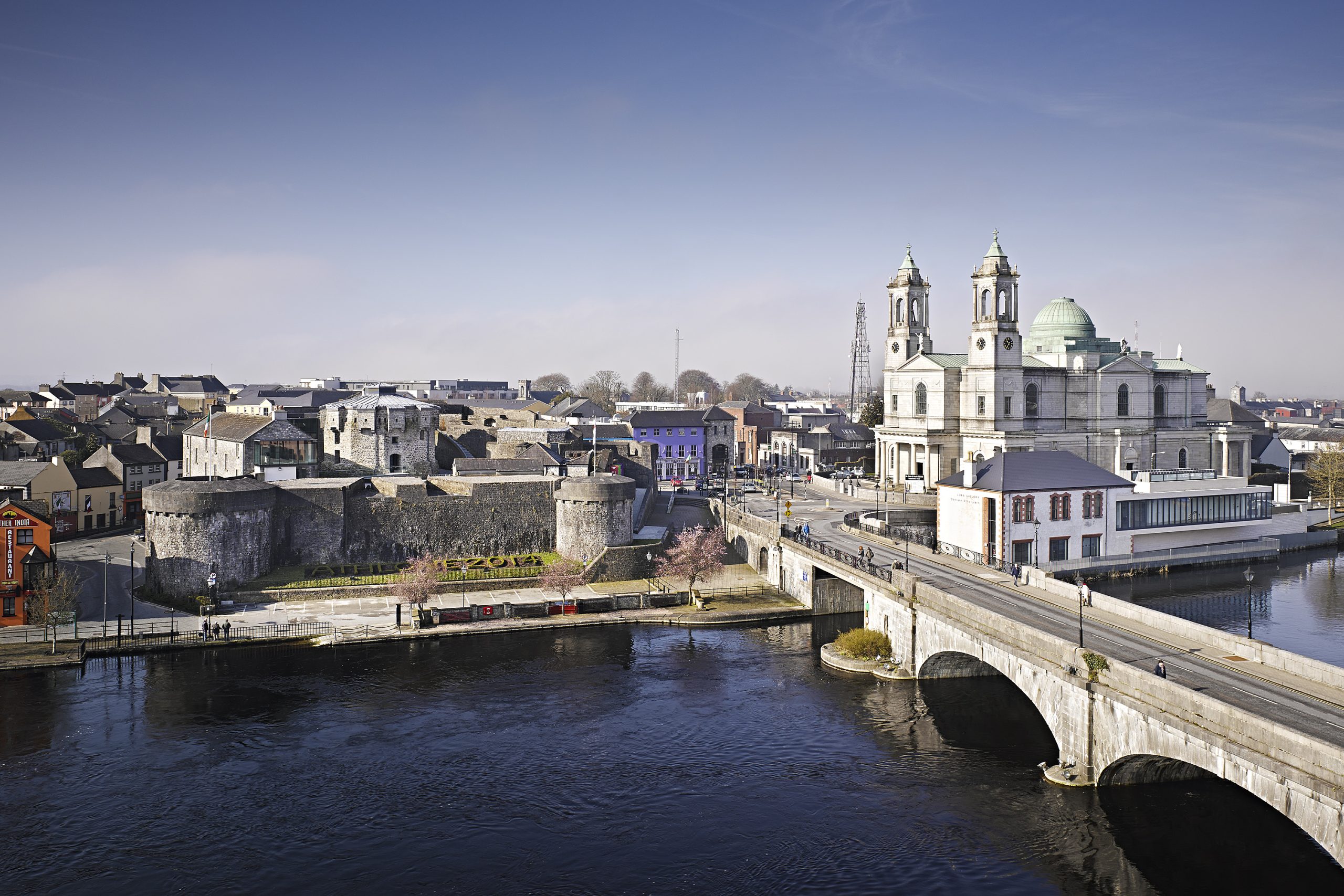 Oldtown CastleCastle, tower house · 1346 yd
Explorer Tom Oldtown Castle in Milltown started as a bet between two lads who couldn't agree on where the border was. Now it's just…
 Churchtown GraveyardGraveyard · 1431 yd
Explorer Tom Churchtown Graveyard in County Westmeath would order a massive chip bag and extra gravy if it walked into a chippy, no…
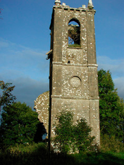 Churchtown ChurchChurch/chapel · 1450 yd
Explorer Tom Churchtown Church is basically just the tower left standing after everyone packed up and went home for tea. It’s a…
 Church (in Ruins)Church · 1450 yd
Explorer Tom Church in Churchtown is where the Vikings got lost looking for it. They probably turned left instead of right and ended…
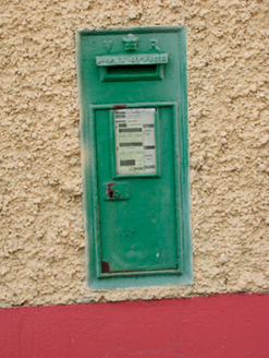 post box1555 yd
Explorer Tom Post box in Gneevestown is wearing Queen Victoria’s crown like a tiny tiara, claiming it once delivered mail to the…
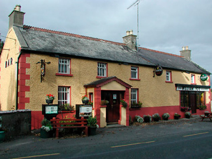 William FoxHouse · 1565 yd
Explorer Tom William Fox in Togherstown was built by a guy who thought he was a genius architect and ended up just making a very…
 Loughnavalley CemeteryCemetery · 1701 yd
Explorer Tom Loughnavalley Cemetery in County Westmeath is hiding a treasure that is definitely just an old biscuit tin full of…
 Stone head in GneevestownStone head · 1.0 mi
Explorer Tom Stone head in Gneevestown is stuck in a barn wall like a weird art installation. Someone paid big time for this frowny…
 Fairy fort / earthen ringfort in RathnamuddaghFairy fort / earthen ringfort · 1.5 mi
Explorer Tom Fairy fort / earthen ringfort in Rathnamuddagh has a superstition locals swear by: touch the bank and you'll find your…
 Carn Castle in ruinsCastle, tower house · 2.4 mi
Explorer Tom Carn Castle is secretly proud of the one potato growing in its corner. It’s been guarding that spud for centuries while…
More archaeology and monuments in County Westmeath · All of County Westmeath

What do you know about this place?Tap to add a comment or ask a question