What is recorded here
In a flat field of Annagh, County Limerick, a barrow keeps its shape despite generations of ploughing and drainage. The 1840 survey called it a circular enclosure, the 1897 survey an oval ring with a ditch, and modern satellite images still show it lying between a ringfort and a field boundary. No one has opened it, so the dead or meaning inside remain hidden. It is not a grand ruin but a quiet contradiction: ordinary pasture holding an old mark that refusal has not erased.
At this location both Google Earth and www.bing.com/maps/ show what appears to be a ringbarrow between the ringfort LI015-032---- and the field boundart to its east.
Compiled by: Denis Power
Date of upload: 4 July 2013
A ring-barrow, likely dating to the Early Bronze Age. Its presence indicates prehistoric burial practices in the area, though its wider significance remains unrecorded.
The monument record does not grant public access. Check the route and ask the landowner before entering private land.
- What survives
- Recorded monument
Places near here
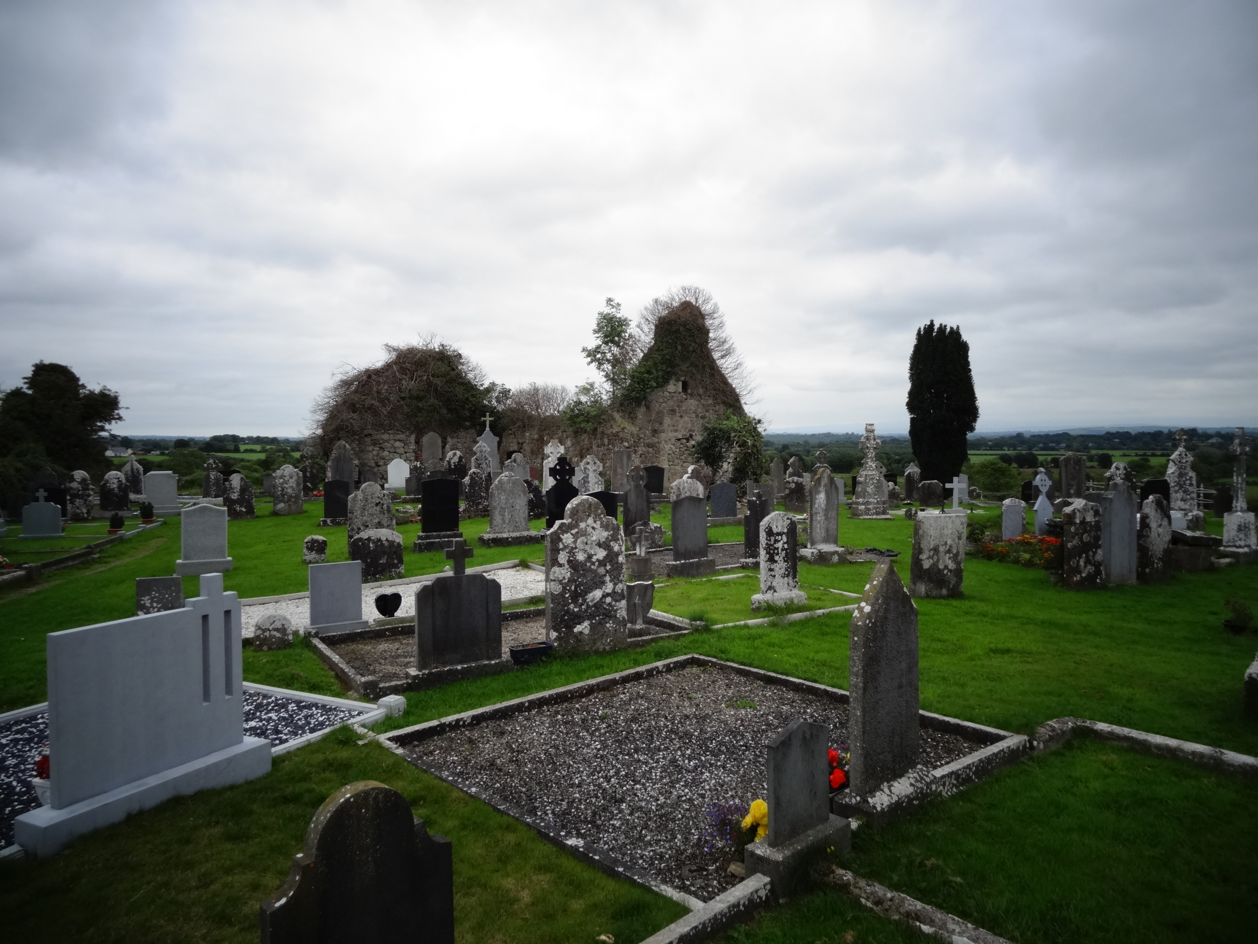 Grave YardGraveyard · 425 yd
 Tower HillCastle, unclassified · 537 yd
 Field system in Cunnagavale,dromalta,killuraghField system · 834 yd
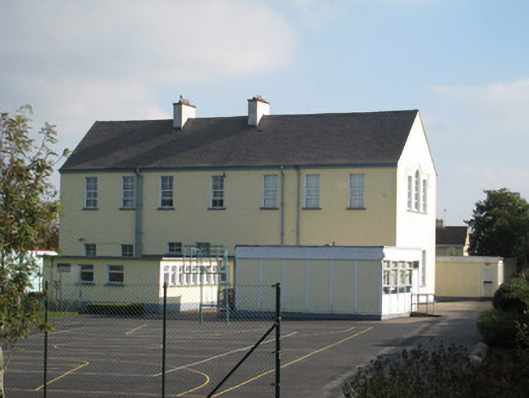 Convent of Mercyschool · 1.1 mi
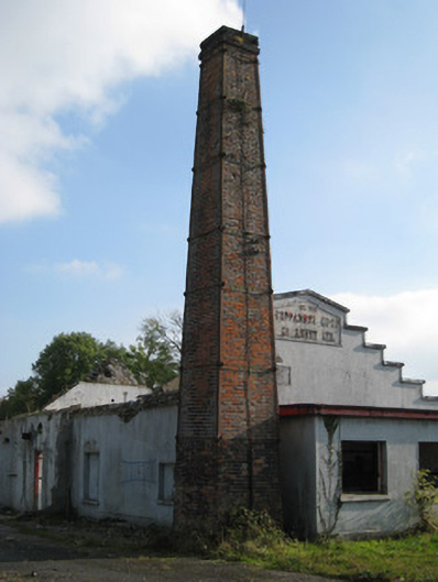 Cappamore Co-Operative Creamerycreamery, chimney · 1.1 mi
 CastleCastle, unclassified · 1.3 mi
 ToberagaddySpring · 2.4 mi
 KnockseefinMountain / peak · 2.7 mi
 Graveyard in AbingtonGraveyard · 4.2 mi
 Sliev Felim WayVisitor information · 4.4 mi
 St. Patrick's WellSpring · 5.5 mi
 Kilteely HillMountain / peak · 6.0 mi