What is recorded here
Situated on a gentle SW facing slope with good views in all directions. The monument consists of a sub-circular area (9.5m N-S; 9m E-W) defined by a scarped edge (Wth 0.85m; H 0.1m) and with an external fosse (Wth 0.8m) and a counter-scarp bank (int. H 0.2m; Wth 1.3m; ext. H 0.1m).
Compiled by: Denis Power
Date of upload: 29 October 2013
A ring-barrow, likely dating to the Early Bronze Age. Its construction and location suggest a ceremonial or funerary function, typical of burial monuments from this period in the British Isles.
The monument record does not grant public access. Check the route and ask the landowner before entering private land.
- What survives
- Recorded monument
Places near here
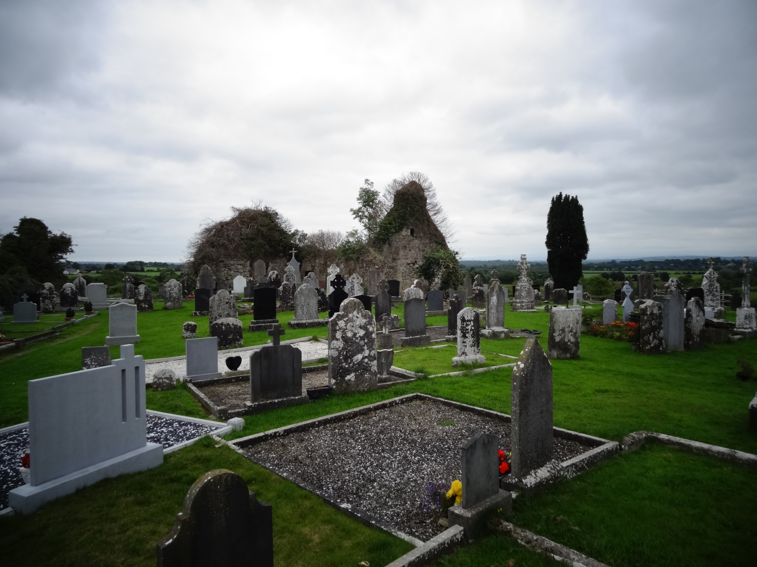 Grave YardGraveyard · 505 yd
 Tower HillCastle, unclassified · 726 yd
 Field system in Cunnagavale,dromalta,killuraghField system · 970 yd
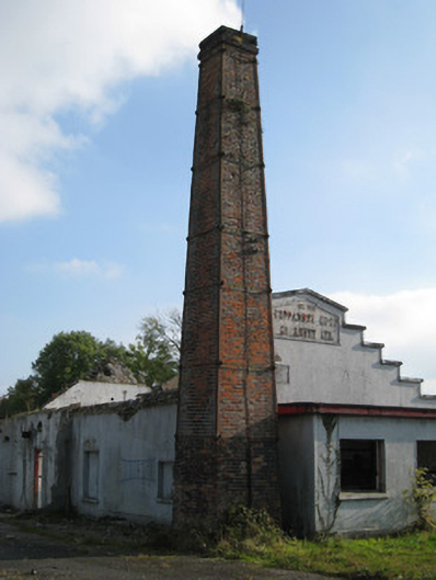 Cappamore Co-Operative Creamerycreamery, chimney · 1.0 mi
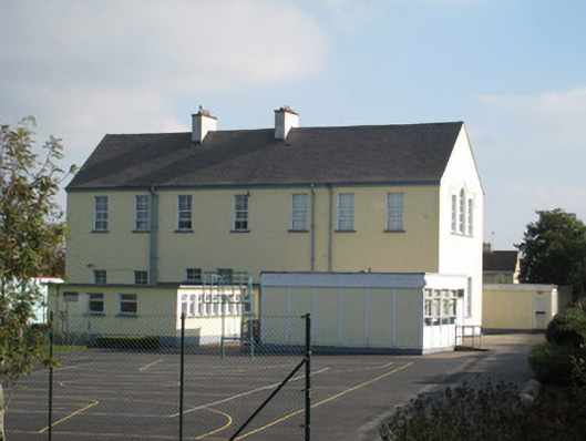 Convent of Mercyschool · 1.1 mi
 CastleCastle, unclassified · 1.2 mi
 ToberagaddySpring · 2.4 mi
 KnockseefinMountain / peak · 2.8 mi
 Graveyard in AbingtonGraveyard · 4.2 mi
 Sliev Felim WayVisitor information · 4.4 mi
 St. Patrick's WellSpring · 5.6 mi
 Oola HillMountain / peak · 6.0 mi