What is recorded here
Situated on top of a small, yet prominent rise, in gently undulating pasture. Monument described as a low barely visible egg-shaped mound (dims. 6.3m; 5.2m; max. H 1.2m) enclosed by an inner fosse, an inner bank, an intervening fosse and an outer bank. The inner fosse is very slight and almost imperceptible. The two earthen banks are slight with a wide shallow fosse between them. The inner bank rises very marginally above the slight inner fosse. Approximately five stones form part of an internal stone facing of the outer bank at SE. The banks and fosses are best preserved from NE-E-S-W-NW, however the intervening fosse and outer bank are defaced at N. Some small sod-covered stones are visible on the surface of the mound but they could have been deposited here in relatively recent times. There is no visible trace of a formal entrance.
See attached profile of monument drawn and surveyed by the ASI.
Compiled by Alison McQueen, Vera Rahilly and Caimin O’Brien.
Date of upload: 30 September 2019
A Neolithic ring-barrow; significant as a rare and possibly early example of enclosed burial monuments in the region.
This remains an important historical record, but the official description says the monument is no longer visible or has been destroyed. The monument record does not grant public access. Check the route and ask the landowner before entering private land.
- What survives
- No visible remains or recorded as destroyed
Places near here
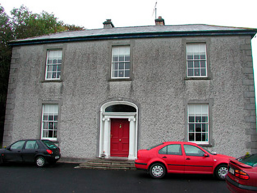 Clonmoyle Househouse · 540 yd
 Mass-rock in Gorteen (fartullagh By.)Mass-rock · 719 yd
 OutlinedFairy fort / earthen ringfort · 756 yd
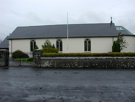 Catholic Church of the Immaculate Conceptionchurch/chapel · 896 yd
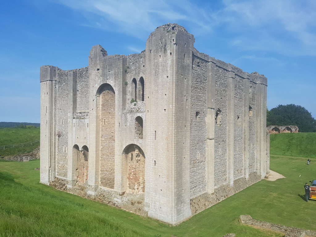 CastleCastle, unclassified · 1.3 mi
 Castle in RuinsCastle, tower house · 1.6 mi
 Belvedere house and gardensVisitor information · 1.7 mi
 Mollie Moo's Pet FarmHeritage attraction · 2.0 mi
 Famine MemorialMemorial · 2.5 mi
 United Nations War MemorialMemorial · 3.5 mi
 Ash IslandIslet · 3.5 mi
 Dysart IslandIsland · 3.5 mi