What is recorded here
Monument recently identified and surveyed by Melanie McQuade of the Forest Service who described the monument as following 'The site has been planted (c. 1985/6) and appears to have been ploughed at the time of planting, but there is still reasonably good surface expression. There is a central mound currently measuring c. 10m N-S x 14m E-W (max) and rising gradually to a maximum height of c. 1m.
Some stone is visible within the mound material (this appears to be local sandstone) An internal ditch is evident and the external bank varies from c. 0.40m – c.1m in width and is c. 0.60m high. The barrow has a diameter of c. 26m.’
The above description is derived from the published 'Archaeological Inventory of County Offaly' (Dublin: Stationery Office, 1997). In certain instances the entries have been revised and updated in the light of recent research.
Compiled and revised by Caimin O'Brien
Date of revised upload: 22 February 2016
A ring-barrow, likely dating to the Early Bronze Age; its significance lies in its association with early burial practices and land use in the Tulla and Crumlin area.
The monument record does not grant public access. Check the route and ask the landowner before entering private land.
- What survives
- Recorded monument
Places near here
 Enclosure in Tulla AND CrumlinEnclosure · 1296 yd
 Tulla Castle (site of)Archaeological place · 1353 yd
 Site of Tulla CastleCastle, unclassified · 1405 yd
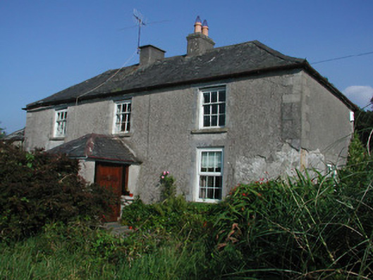 Tulla Housefarm house · 1442 yd
 Cumber HillMountain / peak · 1619 yd
 IndicatedHillfort · 1629 yd
 Broom HillMountain / peak · 1.3 mi
 Kinnitty ForestForest · 1.5 mi
 Saint Dominick's WellSpring · 1.6 mi
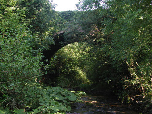 Aghagurty Bridgebridge · 1.7 mi
 Derrykeel WoodWood · 2.7 mi
 Kinnitty Castle LoopWalking route · 2.9 mi