What is recorded here
Barrow stood on a gentle E-facing slope in County Meath, a raised grass and scrub-covered circle twenty-one metres wide, bounded by a fosse and outer bank that merged into a field bank. It belonged to an older landscape where a rath sat nearby, both markers of human presence before modern fields erased them. The site disappeared by 1995, leaving only memory and the shape of what was lost.
Located on a gentle E-facing slope. Described in 1969 (SMR file) as a raised grass and scrub-covered circular area (diam. 21m N-S; H 1m) defined by a fosse (at S: Wth of top 11.5m; Wth of base 8m; ext. D 1.3m; at N: Wth of top 10m; ext. D 0.6m) and an outer bank (at S: Wth of base c. 7m; ext. H 1.m) that is incorporated into a field bank (at S: Wth of base 2.5m; ext. H 0.5m) E-SW. The rath (ME008-041----) was c. 10m to the NE. Both monuments had been removed by 1995 (OSAP).
The above description is derived from the published 'Archaeological Inventory of County Meath' (Dublin: Stationery Office, 1987). In certain instances the entries have been revised and updated in the light of recent research.
Compiled by: Michael Moore
Date of revision: 31 October 2018
A Neolithic ring-barrow; dated to approximately 2500–2000 BCE. This type of tomb is significant as an early funerary monument, often associated with elite burials and social stratification in Neolithic communities.
The monument record does not grant public access. Check the route and ask the landowner before entering private land.
- What survives
- Recorded monument
Places near here
 EnclosureEnclosure, large enclosure · 673 yd
 CastleCastle, unclassified · 856 yd
 mill (water)mill (water) · 1009 yd
 Mullaghmeen ForestPicnic place · 1235 yd
 IndicatedFairy fort / earthen ringfort · 1534 yd
 Mullaghmeen Red WalkWalking route · 1695 yd
 Mullaghmeen White WalkWalking route · 1.2 mi
 The MoatCastle, motte and bailey · 1.3 mi
 MullaghmeenMountain / peak · 1.5 mi
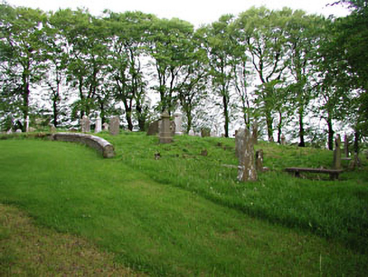 graveyard/cemeterygraveyard/cemetery · 1.6 mi
 European BeechEuropean Beech · 1.6 mi
 Rock of CurryCliff · 3.2 mi