What is recorded here
Dungravenen is a promontory fort on the north side of the Erne estuary near Ballyshannon, where a rock-cut passage leads through narrow chambers roofed with flagstones. The smallest room holds a stone bench and a hidden wall cupboard, suggesting people stored or protected what they valued there. The causeway, ditch and buried rooms still shape the land like a forgotten house, waiting to be entered the way it was built to be entered.
Dungravenen, a very spectacular promontory fort (DG107-052001-) isolated by an earthen bank and rock-cut fosse. A causeway crosses the fosse indicating the probable location of the entrance. The interior is fairly level except for a horseshoe-shaped mound (DG107-052002-) with a surrounding ditch to the S of the causeway entrance. There are traces of a low earthen bank around the internal perimeter.
Inside the fort is a rock-cut Man-made underground passage (DG107-052003-) open in three places to the E, N and S. Only the latter opening affords an entry. It is .47m deep and leads to a N-S running passage 4.06m long, .75m high and 1.2m wide. This widens to 1.32m and 0.88m high at its N end to lead to a central area. This is 1.4m high, 3.7m W-E and 1.5m N-S. Part of the N wall of this chamber is of masonry and contains a small wall cupboard, .3m long .4m high and 0.54m deep. At the E is a low stone 'bench' or slab .83m × 0.33m resting .15m above the floor on two stone supports. Behind this is the blocked up E chamber/passage which viewed from the E surface opening is at least 3.7m long and 1.7m wide. To the W of the central chamber is a rock-cut-opening 1.53m wide and 0.89m high which leads to a chamber 1m high and 3.9m long. A doorway comprising of a lintel resting on a portal stone to the E, and masonry to the W forms the entry to the N passage/chamber which is 1.98m long, .8m wide and 0.68m in height. There is an opening to the surface at the N end of this. All the chambers and passage are roofed with flagstones. This promontory fort is located on the N side of the Erne estuary close to the town of Ballyshannon.
The above description was derived from the 'Archaeological Survey of County Donegal. A description of the field antiquities of the County from the Mesolithic Period to the 17th century.' Compiled by: Brian Lacey with Eamon Cody, Claire Cotter, Judy Cuppage, Noel Dunne, Vincent Hurley, Celie O'Rahilly, Paul Walsh and Seán Ó Nualláin (Lifford: Donegal County Council, 1983). In certain instances the entries have been revised and updated.
Date of upload: 22 September 2008
A ring-barrow, likely dating to the Early Bronze Age, associated with the promontory fort of Dungravenen; such burials often signify high-status individuals within early Irish societies.
The monument record does not grant public access. Check the route and ask the landowner before entering private land.
- What survives
- Recorded monument
Places near here
 Dungravenen Promontory FortPromontory fort, coastal · 28 yd
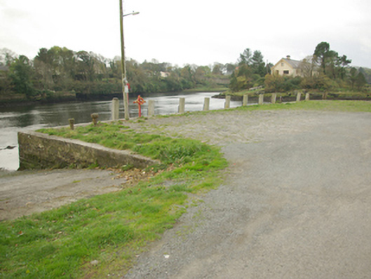 quay/wharfquay/wharf · 277 yd
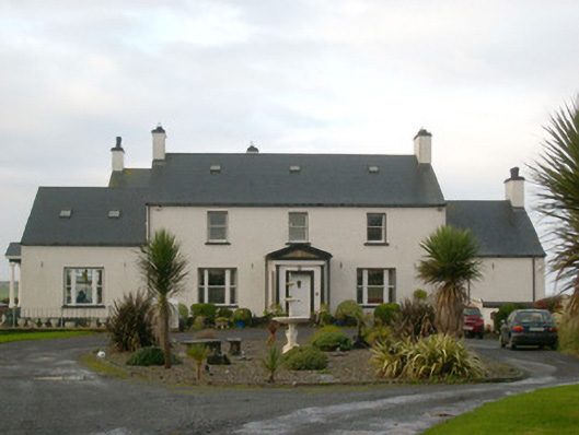 Danby Househouse · 302 yd
 Mullanashee fortBastioned fort · 489 yd
 St Anne's Church GraveyardGraveyard · 568 yd
 CastleCastle, unclassified · 952 yd
 Wardtown StrandBeach / strand · 1.5 mi
 Tullan StrandBeach / strand · 1.8 mi
 Castle in ruinsCastle, unclassified · 2.1 mi
 Finner Old GraveyardGraveyard · 2.4 mi
 Cliffs by BundoranPublicly named cliff or headland · 2.7 mi
 Dark Cliffs at KilbarronPublicly named cliff or headland · 2.8 mi