What is recorded here
On a slight rise in undulating pastureland overlooking the estuary of the Clarinbridge River to the N. This
circular ring-barrow (diam. c. 20m) is defined by a central mound (diam. c. 4m; H 1.34m) encircled by a fosse and traces of an external bank. The centre of the monument has been disturbed and some field-clearance material has been dumped in the fosse from W to N. A number of hawthorn trees are growing on it. (McCaffrey 1952, 30, no. 16a; 1955, 225)
Compiled by: Galway Archaeological Survey, UCG
Date of upload: 16 August 2019
A ring-barrow, likely dating to the Early Bronze Age (c. 2000–1500 BC), representing a type of burial monument associated with elite or significant individuals. Its construction on a prominent landscape feature suggests ritual or symbolic importance in the local prehistoric settlement pattern.
The monument record does not grant public access. Check the route and ask the landowner before entering private land.
- What survives
- Recorded monument
Places near here
 IndicatedFairy fort / stone ringfort · 338 yd
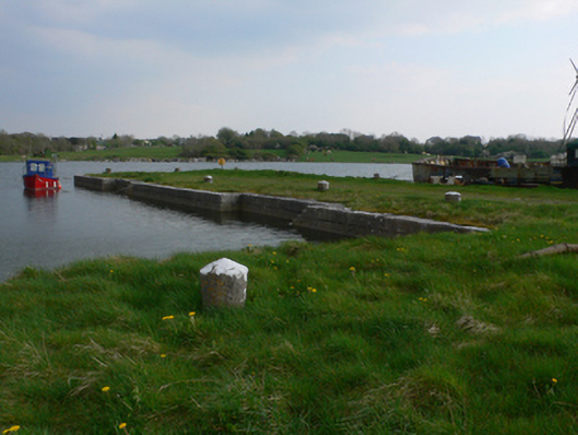 quay/wharfquay/wharf · 686 yd
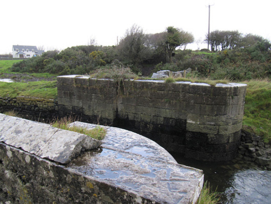 locklock · 1093 yd
 Fulacht fia in Ballynamanagh EastFulacht fia · 1102 yd
 Site of Kilcolgan CastleCastle, tower house · 1.1 mi
 Bawn in Cregganna MoreBawn · 1.4 mi
 Loughaun WoodWood · 1.4 mi
 Kilcornan ForestWood · 1.5 mi
 Drumacoo Monastic SiteHeritage attraction · 1.6 mi
 MweenisharanIslet · 2.4 mi
 Mweenish PointHeadland · 3.2 mi
 Fiddaun IslandIslet · 3.6 mi