
What is recorded here
Monument surveyed in 2015 and described by McGuinness (2015, 71) as following: ‘Roughly circular, fairly well-preserved ring-barrow (Diam. 23.5m NNE-SSW), comprising a flat-topped, steep-sided platform (Diam. 11m NNE-SSW) surrounded by a broad, deep, flat-based ditch, and, where best preserved, by a broad, flat-topped…
Read the whole record
From the National Monuments Service (Archaeological Survey of Ireland) record WM007-011
Places near here
Photo credits
- Maker not stated on source page, fi.pinterest.com
- National Inventory of Architectural Heritage
- Maker not stated on source page, commons.wikimedia.org
 St. Michael's CemeteryCemetery · 760 yd
Explorer Tom St. Michael's Cemetery has strong opinions about the road leading to it, mostly that it’s too bumpy for its own good.…
 Castlepollard Presbyterian ChurchChurch/chapel · 1123 yd
Explorer Tom Castlepollard Presbyterian Church gave up meat for Lent but kept the Gothic spires because they were too heavy to move.…
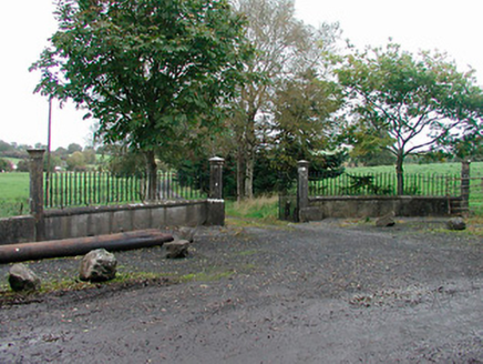 Lough Park HouseGates/railings/walls · 1158 yd
Explorer Tom Lough Park House has a bird that refuses to leave the gates, probably because it thinks the ashlar limestone is a…
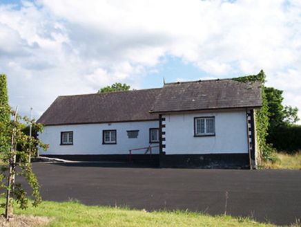 Castlepollard National SchoolSchool · 1222 yd
Explorer Tom Castlepollard National School is sitting up high in Kinturk Demesne, acting like it’s too cool for school now. It’s…
 Kinturk HouseGates/railings/walls · 1271 yd
Explorer Tom Kinturk House’s gate piers are showing up to every party looking like they paid extra for entry and expect you to…
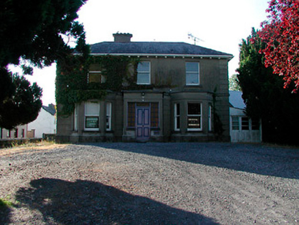 Kirkview HouseHouse · 1318 yd
Explorer Tom Kirkview House was designed by a mother-in-law who wanted every window to catch the afternoon sun and judge your…
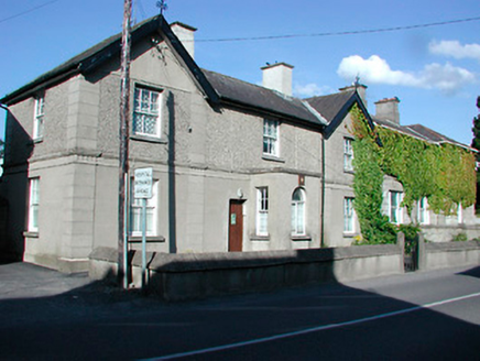 Castlepollard Garda Síochána StationHouse · 1336 yd
Explorer Tom Castlepollard Garda Síochána Station has that look of a building that knows too much gossip but keeps it locked away.…
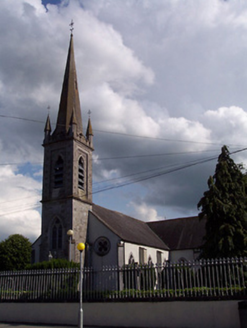 Saint Michael's Catholic ChurchChurch/chapel · 1343 yd
Explorer Tom Saint Michael's Catholic Church in Townparks smells like old incense and Tuesday morning regret, according to Tom’s…
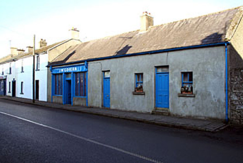 J. McGovernShop/retail outlet · 1372 yd
Explorer Tom J. McGovern in Townparks was prophesied to turn into gold by 1920, but the prophecy went slightly awry. That old timber…
 vent pipe1405 yd
Explorer Tom Vent pipe in Townparks is basically a fancy exhaust pipe that thinks it’s art because it was designed to be pretty.…
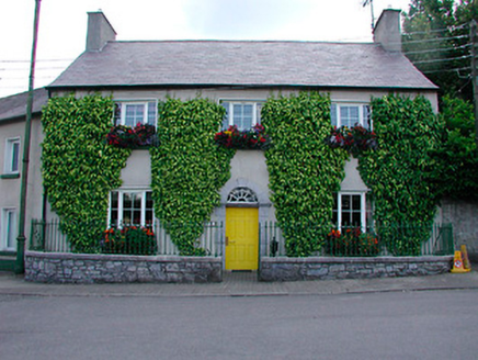 Ivy HouseHouse · 1425 yd
Explorer Tom Ivy House in Townparks would complain to the council about the ivy growing too aggressively into its front doorframe.…
 Memorial stone in TownparksMemorial stone · 1629 yd
Explorer Tom Memorial stone in Townparks was designed by a mother-in-law who just wanted her name on the wall forever. Walter…
More archaeology and monuments in County Westmeath · All of County Westmeath

What do you know about this place?Tap to add a comment or ask a question