What is recorded here
Barrow is a vanished ring-barrow on Sheagh hill, erased during tree planting but still identified through nearby surviving cairns. The forest now covers the place where people once shaped stone into a visible marker, while seventy and a hundred metres south two cairns preserve the intention of the lost circle. What disappeared is not nothing; it is the difference between forgetting a place and knowing exactly where the place stopped being visible.
In a coniferous forest, on the summit of Sheagh hill. A ring-barrow, which was 'completely destroyed' during tree planting, was noted to the N of another ring-barrow (CO141-013001-) in 1960 (UCC). There are no visible remains of this ring-barrow. There are two cairns (CO141-013002-; CO141-144----) c. 70m and c. 100m to the S, respectively.
The above description is derived from 'The Archaeological Inventory of County Cork. Volume 5' (Dublin: Stationery Office, 2009).
Date of upload: 22 December 2009
A ring-barrow, likely dating to the Early Bronze Age, representing a type of burial monument common in Ireland during the first millennium BC. Its location on a hill summit suggests ritual or symbolic significance, though its destruction has limited further study.
This remains an important historical record, but the official description says the monument is no longer visible or has been destroyed. The monument record does not grant public access. Check the route and ask the landowner before entering private land.
- What survives
- No visible remains or recorded as destroyed
Places near here
 Skeagh CairnArchaeological place · 84 yd
 BarrowBarrow, mound barrow · 99 yd
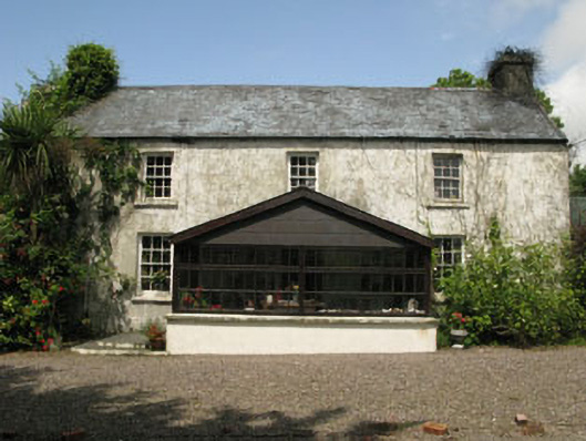 farm housefarm house · 1.7 mi
 Bridge in Carrigfadda (carbery West (e.d.) By.),gortnaclohyBridge · 1.9 mi
 Monterey CypressMonterey Cypress · 2.3 mi
 Bawn in Oldcourt (carbery West (e.d) By.)Bawn · 3.0 mi
 Ballyourane Castle (in Ruins)Castle, unclassified · 3.1 mi
 Heritage CentreMuseum · 3.3 mi
 Bishop MahonyMemorial · 3.6 mi
 Wild Atlantic WayVisitor information · 3.8 mi
 Mannin BegIslet · 4.1 mi
 KnockaphukeenMountain / peak · 4.2 mi